Distance to Edelstein, Illinois

Calculating Your Route
Just a moment while we process your request...
Location Information
-
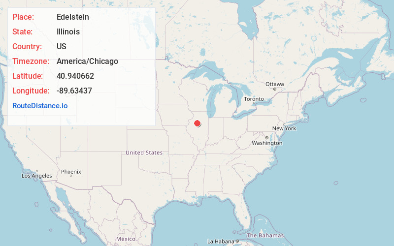
Full AddressEdelstein, IL 61526
-
Coordinates40.9406616, -89.6343701
-
LocationEdelstein , Illinois , US
-
TimezoneAmerica/Chicago
-
Current Local Time8:02:15 AM America/ChicagoMonday, June 23, 2025
-
Page Views0
About Edelstein
Edelstein is an unincorporated village just off Illinois Route 40 in Peoria County, Illinois, 17.15 miles north of Peoria City Hall, approximately 7.5 miles north of the city limits of Peoria and 7.5 miles west of Chillicothe.

Nearby Places
Found 10 places within 50 miles

Akron
2.7 mi
4.3 km
Akron, IL 61526
Get directions
Speer
3.4 mi
5.5 km
Speer, IL 61479
Get directions
North Hampton
5.0 mi
8.0 km
North Hampton, IL 61523
Get directions

Dunlap
5.9 mi
9.5 km
Dunlap, IL 61525
Get directions

Princeville
6.5 mi
10.5 km
Princeville, IL 61559
Get directions
Coughlin
7.8 mi
12.6 km
Coughlin, Chillicothe Township, IL 61523
Get directions

Chillicothe
7.8 mi
12.6 km
Chillicothe, IL 61523
Get directions

Rome
7.9 mi
12.7 km
Rome, IL
Get directions
South Rome
8.1 mi
13.0 km
South Rome, IL 61523
Get directions

Mossville
9.2 mi
14.8 km
Mossville, IL
Get directions
Location Links
Local Weather
Weather Information
Coming soon!
Location Map
Static map view of Edelstein, Illinois
Browse Places by Distance
Places within specific distances from Edelstein
Short Distances
Long Distances
Click any distance to see all places within that range from Edelstein. Distances shown in miles (1 mile ≈ 1.61 kilometers).