Distance to Edgar, Montana

Calculating Your Route
Just a moment while we process your request...
Location Information
-
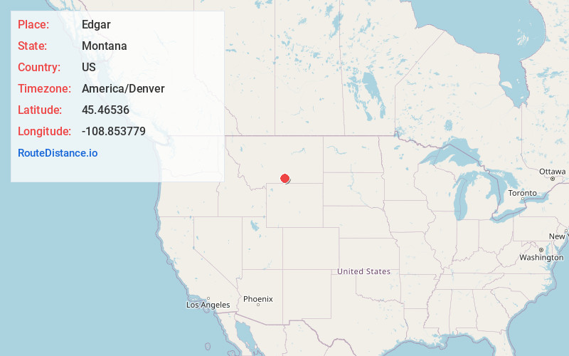
Full AddressEdgar, MT
-
Coordinates45.4653597, -108.8537789
-
LocationEdgar , Montana , US
-
TimezoneAmerica/Denver
-
Current Local Time9:03:20 AM America/DenverSunday, June 29, 2025
-
Page Views0
About Edgar
Edgar is a census-designated place and unincorporated community in Carbon County, Montana, United States. As of the 2010 census it had a population of 114. Edgar has a post office with a ZIP code 59026. The post office was established May 28, 1909 with John J. Thornton as its first postmaster.


Nearby Places
Found 10 places within 50 miles

Rockvale
4.0 mi
6.4 km
Rockvale, MT 59041
Get directions

Fromberg
5.7 mi
9.2 km
Fromberg, MT
Get directions
Joliet
5.8 mi
9.3 km
Joliet, MT 59041
Get directions

Park City
11.8 mi
19.0 km
Park City, MT 59063
Get directions

Bridger
12.1 mi
19.5 km
Bridger, MT 59014
Get directions

Laurel
14.6 mi
23.5 km
Laurel, MT 59044
Get directions

Pryor
15.7 mi
25.3 km
Pryor, MT
Get directions

Roberts
16.9 mi
27.2 km
Roberts, MT 59070
Get directions

Columbus
22.5 mi
36.2 km
Columbus, MT 59019
Get directions

Belfry
23.5 mi
37.8 km
Belfry, MT 59008
Get directions
Location Links
Local Weather
Weather Information
Coming soon!
Location Map
Static map view of Edgar, Montana
Browse Places by Distance
Places within specific distances from Edgar
Short Distances
Long Distances
Click any distance to see all places within that range from Edgar. Distances shown in miles (1 mile ≈ 1.61 kilometers).