Distance to Rockvale, Montana

Calculating Your Route
Just a moment while we process your request...
Location Information
-
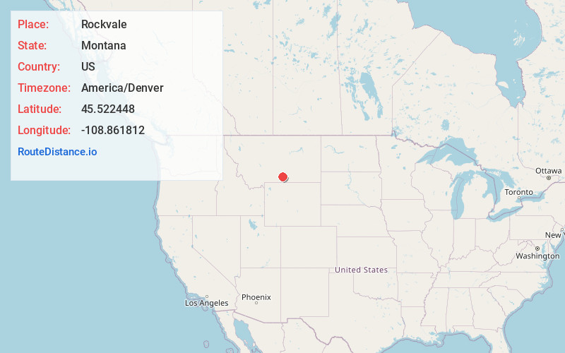
Full AddressRockvale, MT 59041
-
Coordinates45.5224479, -108.8618118
-
LocationRockvale , Montana , US
-
TimezoneAmerica/Denver
-
Current Local Time12:31:12 AM America/DenverWednesday, May 21, 2025
-
Page Views0
About Rockvale
Rockvale is an unincorporated community in Carbon County, Montana, United States. As of 2024, it is the site of a bar, a casino, and some homes. Little remains of the original town site except a nearby cemetery.
It at the intersection of U.S. Route 212 and Montana Secondary Highway 310. Rock Creek runs south of town.

Nearby Places
Found 10 places within 50 miles

Joliet
5.9 mi
9.5 km
Joliet, MT 59041
Get directions

Park City
7.9 mi
12.7 km
Park City, MT 59063
Get directions
Fromberg
9.2 mi
14.8 km
Fromberg, MT
Get directions

Laurel
11.0 mi
17.7 km
Laurel, MT 59044
Get directions

Bridger
15.9 mi
25.6 km
Bridger, MT 59014
Get directions

Pryor
17.2 mi
27.7 km
Pryor, MT
Get directions

Columbus
20.3 mi
32.7 km
Columbus, MT 59019
Get directions

Billings
24.9 mi
40.1 km
Billings, MT
Get directions

Absarokee
28.1 mi
45.2 km
Absarokee, MT 59001
Get directions

Lockwood
29.8 mi
48.0 km
Lockwood, MT
Get directions
Location Links
Local Weather
Weather Information
Coming soon!
Location Map
Static map view of Rockvale, Montana
Browse Places by Distance
Places within specific distances from Rockvale
Short Distances
Long Distances
Click any distance to see all places within that range from Rockvale. Distances shown in miles (1 mile ≈ 1.61 kilometers).