Distance to Edgartown, Massachusetts

Calculating Your Route
Just a moment while we process your request...
Location Information
-
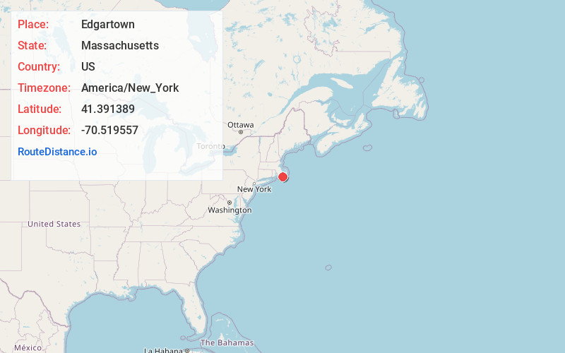
Full AddressEdgartown, MA
-
Coordinates41.3913885, -70.5195571
-
LocationEdgartown , Massachusetts , US
-
TimezoneAmerica/New_York
-
Current Local Time1:17:45 AM America/New_YorkFriday, June 20, 2025
-
Website
-
Page Views0
About Edgartown
Edgartown is a town on the island of Martha's Vineyard in Dukes County, Massachusetts, United States, for which it is the county seat. The town's population was 5,168 at the 2020 census.
It was once a major whaling port, with historic houses that have been carefully preserved.


Nearby Places
Found 10 places within 50 miles

Oak Bluffs
5.1 mi
8.2 km
Oak Bluffs, MA
Get directions

Falmouth
12.1 mi
19.5 km
Falmouth, MA
Get directions

Mashpee
17.9 mi
28.8 km
Mashpee, MA
Get directions

Barnstable
22.4 mi
36.0 km
Barnstable, MA
Get directions

Nantucket
23.0 mi
37.0 km
Nantucket, MA
Get directions

Mattapoisett
24.3 mi
39.1 km
Mattapoisett, MA
Get directions

Yarmouth
24.7 mi
39.8 km
Yarmouth, MA
Get directions

Marion
25.0 mi
40.2 km
Marion, MA
Get directions

Bourne
25.1 mi
40.4 km
Bourne, MA
Get directions

Fairhaven
25.4 mi
40.9 km
Fairhaven, MA 02719
Get directions
Location Links
Local Weather
Weather Information
Coming soon!
Location Map
Static map view of Edgartown, Massachusetts
Browse Places by Distance
Places within specific distances from Edgartown
Short Distances
Long Distances
Click any distance to see all places within that range from Edgartown. Distances shown in miles (1 mile ≈ 1.61 kilometers).