Distance to Edgewater, Colorado

Calculating Your Route
Just a moment while we process your request...
Location Information
-
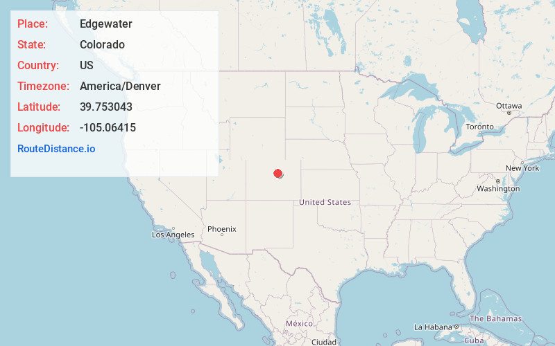
Full AddressEdgewater, CO 80214
-
Coordinates39.7530425, -105.0641503
-
LocationEdgewater , Colorado , US
-
TimezoneAmerica/Denver
-
Current Local Time11:46:11 PM America/DenverSaturday, May 31, 2025
-
Website
-
Page Views0
About Edgewater
The City of Edgewater is a home rule municipality located in Jefferson County, Colorado, United States. The city population was 5,005 at the 2020 United States census. Edgewater is surrounded by Denver to the east, Lakewood to the south and west, and Wheat Ridge to the north.


Nearby Places
Found 10 places within 50 miles

Wheat Ridge
1.1 mi
1.8 km
Wheat Ridge, CO
Get directions

Lakewood
3.5 mi
5.6 km
Lakewood, CO
Get directions

Arvada
3.7 mi
6.0 km
Arvada, CO
Get directions

Denver
4.0 mi
6.4 km
Denver, CO
Get directions

Berkley
4.6 mi
7.4 km
Berkley, CO
Get directions

Westminster
6.0 mi
9.7 km
Westminster, CO
Get directions
West Pleasant View
6.3 mi
10.1 km
West Pleasant View, CO 80401
Get directions
Sherrelwood
6.7 mi
10.8 km
Sherrelwood, CO
Get directions

Sheridan
7.6 mi
12.2 km
Sheridan, CO
Get directions

Federal Heights
7.8 mi
12.6 km
Federal Heights, CO
Get directions
Location Links
Local Weather
Weather Information
Coming soon!
Location Map
Static map view of Edgewater, Colorado
Browse Places by Distance
Places within specific distances from Edgewater
Short Distances
Long Distances
Click any distance to see all places within that range from Edgewater. Distances shown in miles (1 mile ≈ 1.61 kilometers).