Distance to Edgewood, Iowa

Calculating Your Route
Just a moment while we process your request...
Location Information
-
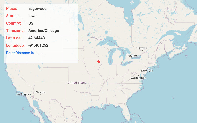
Full AddressEdgewood, IA 52042
-
Coordinates42.6444313, -91.4012515
-
LocationEdgewood , Iowa , US
-
TimezoneAmerica/Chicago
-
Current Local Time7:22:24 AM America/ChicagoSaturday, June 28, 2025
-
Page Views0
About Edgewood
Edgewood is a city in Clayton and Delaware counties in the U.S. state of Iowa. Highway 3, which runs through the center of town, is the dividing line between the two counties. The Edgewood post office was established in 1852 on the Clayton side of the town.


Nearby Places
Found 10 places within 50 miles

Strawberry Point
7.3 mi
11.7 km
Strawberry Point, IA 52076
Get directions

Manchester
11.3 mi
18.2 km
Manchester, IA 52057
Get directions

Earlville
13.1 mi
21.1 km
Earlville, IA 52041
Get directions

Elkader
14.5 mi
23.3 km
Elkader, IA 52043
Get directions

Garnavillo
17.6 mi
28.3 km
Garnavillo, IA 52049
Get directions

Guttenberg
18.2 mi
29.3 km
Guttenberg, IA 52052
Get directions

Dyersville
18.5 mi
29.8 km
Dyersville, IA
Get directions

Winthrop
20.7 mi
33.3 km
Winthrop, IA 50682
Get directions

Cassville
21.4 mi
34.4 km
Cassville, WI 53806
Get directions
Hopkinton
22.2 mi
35.7 km
Hopkinton, IA 52237
Get directions
Location Links
Local Weather
Weather Information
Coming soon!
Location Map
Static map view of Edgewood, Iowa
Browse Places by Distance
Places within specific distances from Edgewood
Short Distances
Long Distances
Click any distance to see all places within that range from Edgewood. Distances shown in miles (1 mile ≈ 1.61 kilometers).