Distance to Edgewood, Texas

Calculating Your Route
Just a moment while we process your request...
Location Information
-
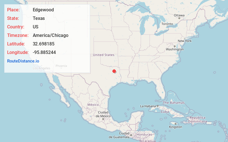
Full AddressEdgewood, TX 75117
-
Coordinates32.6981846, -95.8852438
-
LocationEdgewood , Texas , US
-
TimezoneAmerica/Chicago
-
Current Local Time12:13:58 AM America/ChicagoWednesday, June 25, 2025
-
Page Views0
About Edgewood
Edgewood is a city in Van Zandt County, Texas, United States. The population was 1,530 at the 2020 census. The town draws its name from its location on the far western edge of the East Texas timberline on U.S. Highway 80, approximately 60 miles east of Dallas.


Nearby Places
Found 10 places within 50 miles

Wills Point
7.2 mi
11.6 km
Wills Point, TX 75169
Get directions

Canton
9.9 mi
15.9 km
Canton, TX 75103
Get directions

Grand Saline
10.4 mi
16.7 km
Grand Saline, TX 75140
Get directions

West Tawakoni
16.7 mi
26.9 km
West Tawakoni, TX 75474
Get directions

Van
18.8 mi
30.3 km
Van, TX 75790
Get directions

Ben Wheeler
20.4 mi
32.8 km
Ben Wheeler, TX 75754
Get directions

Terrell
22.8 mi
36.7 km
Terrell, TX
Get directions

Mineola
23.2 mi
37.3 km
Mineola, TX 75773
Get directions

Kaufman
25.8 mi
41.5 km
Kaufman, TX
Get directions

Quitman
26.1 mi
42.0 km
Quitman, TX 75783
Get directions
Location Links
Local Weather
Weather Information
Coming soon!
Location Map
Static map view of Edgewood, Texas
Browse Places by Distance
Places within specific distances from Edgewood
Short Distances
Long Distances
Click any distance to see all places within that range from Edgewood. Distances shown in miles (1 mile ≈ 1.61 kilometers).