Distance to Edina, Missouri

Calculating Your Route
Just a moment while we process your request...
Location Information
-
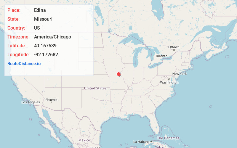
Full AddressEdina, MO 63537
-
Coordinates40.1675386, -92.1726821
-
LocationEdina , Missouri , US
-
TimezoneAmerica/Chicago
-
Current Local Time10:52:15 AM America/ChicagoSunday, June 15, 2025
-
Page Views0
About Edina
Edina is a city and county seat of Knox County, Missouri, United States, between the North and South Forks of the South Fabius River. As of the 2020 census, its population was 1,012.


Nearby Places
Found 10 places within 50 miles

Memphis
20.1 mi
32.3 km
Memphis, MO 63555
Get directions

Kirksville
21.8 mi
35.1 km
Kirksville, MO 63501
Get directions

Kahoka
29.6 mi
47.6 km
Kahoka, MO 63445
Get directions

Macon
33.4 mi
53.8 km
Macon, MO 63552
Get directions

Shelbina
33.4 mi
53.8 km
Shelbina, MO 63468
Get directions

Canton
34.6 mi
55.7 km
Canton, MO 63435
Get directions

Warsaw
41.1 mi
66.1 km
Warsaw, IL 62379
Get directions

Bloomfield
42.3 mi
68.1 km
Bloomfield, IA 52537
Get directions

Monroe City
42.4 mi
68.2 km
Monroe City, MO 63456
Get directions

Palmyra
43.0 mi
69.2 km
Palmyra, MO 63461
Get directions
Location Links
Local Weather
Weather Information
Coming soon!
Location Map
Static map view of Edina, Missouri
Browse Places by Distance
Places within specific distances from Edina
Short Distances
Long Distances
Click any distance to see all places within that range from Edina. Distances shown in miles (1 mile ≈ 1.61 kilometers).