Distance to Edward, North Carolina

Calculating Your Route
Just a moment while we process your request...
Location Information
-
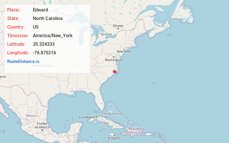
Full AddressEdward, NC 27821
-
Coordinates35.3243326, -76.875216
-
LocationEdward , North Carolina , US
-
TimezoneAmerica/New_York
-
Current Local Time4:06:27 PM America/New_YorkTuesday, June 17, 2025
-
Page Views0
Nearby Places
Found 10 places within 50 miles

Stilley
3.0 mi
4.8 km
Stilley, NC 27814
Get directions

Aurora
5.1 mi
8.2 km
Aurora, NC 27806
Get directions

Blounts Creek
5.1 mi
8.2 km
Blounts Creek, NC 27814
Get directions
Coxs Crossroads
5.4 mi
8.7 km
Coxs Crossroads, NC 27814
Get directions
Prescott
5.5 mi
8.9 km
Prescott, NC 27806
Get directions
Core Point
7.1 mi
11.4 km
Core Point, NC 27814
Get directions
Cayton
7.7 mi
12.4 km
Cayton, NC 28527
Get directions
Hawkins Landing
8.9 mi
14.3 km
Hawkins Landing, NC 27808
Get directions
Bayview
9.1 mi
14.6 km
Bayview, NC 27808
Get directions
Vinegar Hill
9.9 mi
15.9 km
Vinegar Hill, NC 27806
Get directions
Location Links
Local Weather
Weather Information
Coming soon!
Location Map
Static map view of Edward, North Carolina
Browse Places by Distance
Places within specific distances from Edward
Short Distances
Long Distances
Click any distance to see all places within that range from Edward. Distances shown in miles (1 mile ≈ 1.61 kilometers).