Distance to and from Edwards Fork, North Carolina
Edwards Fork, NC 27874
North Carolina
US
America/New_York
Location Information
-
Full AddressEdwards Fork, NC 27874
-
Coordinates36.1190449, -77.3888577
-
LocationNorth Carolina , US
-
TimezoneAmerica/New_York
-
Current Local Time4:16:29 PM America/New_YorkSaturday, May 3, 2025
-
Page Views0
Directions to Nearest Cities
Nearby Places
Found 10 places within 50 miles

Charleston
0.7 mi
1.1 km
Charleston, NC 27874
Get directions

Scotland Neck
1.9 mi
3.1 km
Scotland Neck, NC 27874
Get directions
Braswells Crossroads
2.4 mi
3.9 km
Braswells Crossroads, NC 27874
Get directions
Mullins Crossroads
4.8 mi
7.7 km
Mullins Crossroads, NC 27874
Get directions
Norfleet
5.3 mi
8.5 km
Norfleet, NC 27874
Get directions
Roseneath
5.9 mi
9.5 km
Roseneath, NC 27874
Get directions
Hobgood
6.2 mi
10.0 km
Hobgood, NC 27843
Get directions
Mt Pilgrim
8.1 mi
13.0 km
Mt Pilgrim, NC 27857
Get directions
Lawrence
9.5 mi
15.3 km
Lawrence, NC 27886
Get directions
Roxobel
9.9 mi
15.9 km
Roxobel, NC
Get directions
Charleston
0.7 mi
1.1 km
Charleston, NC 27874
Scotland Neck
1.9 mi
3.1 km
Scotland Neck, NC 27874
Braswells Crossroads
2.4 mi
3.9 km
Braswells Crossroads, NC 27874
Mullins Crossroads
4.8 mi
7.7 km
Mullins Crossroads, NC 27874
Norfleet
5.3 mi
8.5 km
Norfleet, NC 27874
Roseneath
5.9 mi
9.5 km
Roseneath, NC 27874
Hobgood
6.2 mi
10.0 km
Hobgood, NC 27843
Mt Pilgrim
8.1 mi
13.0 km
Mt Pilgrim, NC 27857
Lawrence
9.5 mi
15.3 km
Lawrence, NC 27886
Roxobel
9.9 mi
15.9 km
Roxobel, NC
Location Links
Local Weather
Weather Information
Coming soon!
Location Map
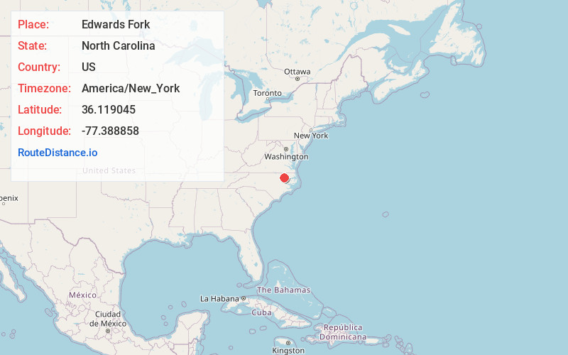
Static map view of Edwards Fork, North Carolina
Browse Places by Distance
Places within specific distances from Edwards Fork
Short Distances
Long Distances
Click any distance to see all places within that range from Edwards Fork. Distances shown in miles (1 mile ≈ 1.61 kilometers).