Distance to Norfleet, North Carolina

Calculating Your Route
Just a moment while we process your request...
Location Information
-
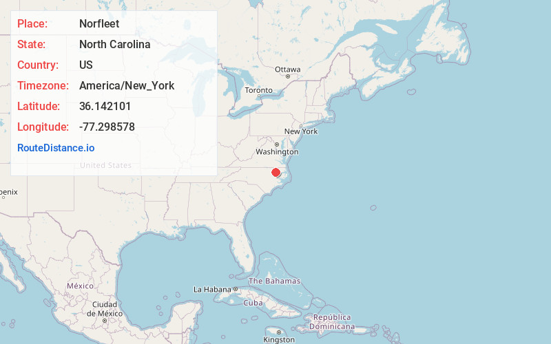
Full AddressNorfleet, NC 27874
-
Coordinates36.1421007, -77.2985776
-
LocationNorth Carolina , US
-
TimezoneAmerica/New_York
-
Current Local Time3:48:15 PM America/New_YorkFriday, June 20, 2025
-
Page Views0
Nearby Places
Found 10 places within 50 miles

Charleston
4.6 mi
7.4 km
Charleston, NC 27874
Get directions
Kelford
4.9 mi
7.9 km
Kelford, NC 27847
Get directions
Roxobel
5.1 mi
8.2 km
Roxobel, NC
Get directions

Scotland Neck
6.8 mi
10.9 km
Scotland Neck, NC 27874
Get directions
Lewiston Woodville
6.9 mi
11.1 km
Lewiston Woodville, NC 27849
Get directions
Rich Square
9.2 mi
14.8 km
Rich Square, NC 27869
Get directions
Hobgood
9.5 mi
15.3 km
Hobgood, NC 27843
Get directions
Eagletown
9.8 mi
15.8 km
Eagletown, NC 27869
Get directions
Bryantown
10.2 mi
16.4 km
Bryantown, NC 27869
Get directions
Cahaba
10.6 mi
17.1 km
Cahaba, NC 27849
Get directions
Location Links
Local Weather
Weather Information
Coming soon!
Location Map
Static map view of Norfleet, North Carolina
Browse Places by Distance
Places within specific distances from Norfleet
Short Distances
Long Distances
Click any distance to see all places within that range from Norfleet. Distances shown in miles (1 mile ≈ 1.61 kilometers).