Distance to El Maton, Texas

Calculating Your Route
Just a moment while we process your request...
Location Information
-
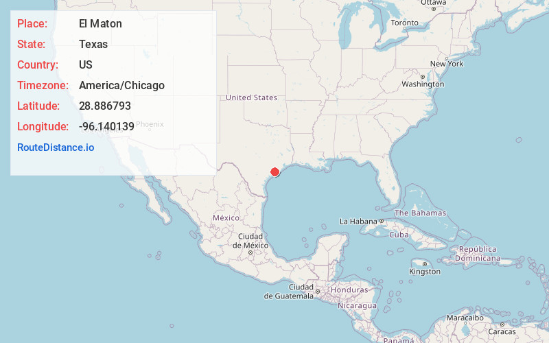
Full AddressEl Maton, TX 77465
-
Coordinates28.8867929, -96.1401391
-
LocationEl Maton , Texas , US
-
TimezoneAmerica/Chicago
-
Current Local Time6:31:34 PM America/ChicagoSunday, June 8, 2025
-
Page Views0
About El Maton
El Maton is an unincorporated community in Matagorda County, Texas, United States.
The community is in the areas of Farm to Market Road 1095, 459, and State Highway 35, along the Union Pacific Railroad.
The Tidehaven Independent School District serves area students.
Nearby Places
Found 10 places within 50 miles

Blessing
4.8 mi
7.7 km
Blessing, TX 77419
Get directions

Buckeye
5.6 mi
9.0 km
Buckeye, TX 77414
Get directions
Midfield
5.7 mi
9.2 km
Midfield, TX
Get directions
Markham
6.8 mi
10.9 km
Markham, TX 77456
Get directions
Clemville
7.6 mi
12.2 km
Clemville, TX 77414
Get directions

Bay City
12.3 mi
19.8 km
Bay City, TX 77414
Get directions
Danevang
12.5 mi
20.1 km
Danevang, TX
Get directions
Wadsworth
13.0 mi
20.9 km
Wadsworth, TX 77414
Get directions

Palacios
13.2 mi
21.2 km
Palacios, TX 77465
Get directions

Matagorda
17.1 mi
27.5 km
Matagorda, TX 77457
Get directions
Location Links
Local Weather
Weather Information
Coming soon!
Location Map
Static map view of El Maton, Texas
Browse Places by Distance
Places within specific distances from El Maton
Short Distances
Long Distances
Click any distance to see all places within that range from El Maton. Distances shown in miles (1 mile ≈ 1.61 kilometers).