Distance to El Pescadero, Baja California Sur

Calculating Your Route
Just a moment while we process your request...
Location Information
-
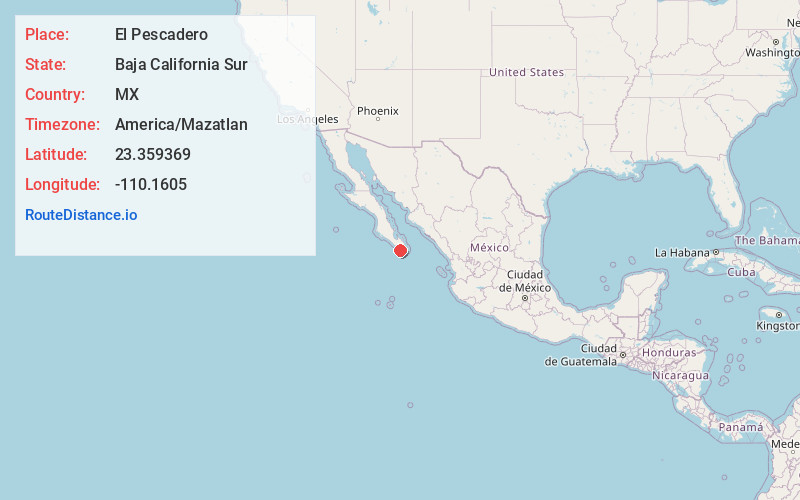
Full Address23361 El Pescadero, BCS, Mexico
-
Coordinates23.3593689, -110.1605001
-
LocationEl Pescadero , Baja California Sur , MX
-
TimezoneAmerica/Mazatlan
-
Current Local Time3:33:11 AM America/MazatlanWednesday, June 4, 2025
-
Page Views0
About El Pescadero
El Pescadero is a small village in the municipality of La Paz in the Mexican state of Baja California Sur.
It is located at km 64 on Federal Highway 19 on the Pacific Ocean about 8 kilometers South of Todos Santos which is about a one-hour drive north of Cabo San Lucas.


Location Links
Local Weather
Weather Information
Coming soon!
Location Map
Static map view of El Pescadero, Baja California Sur
Browse Places by Distance
Places within specific distances from El Pescadero
Short Distances
Long Distances
Click any distance to see all places within that range from El Pescadero. Distances shown in miles (1 mile ≈ 1.61 kilometers).