Distance to Elbert, Texas

Calculating Your Route
Just a moment while we process your request...
Location Information
-
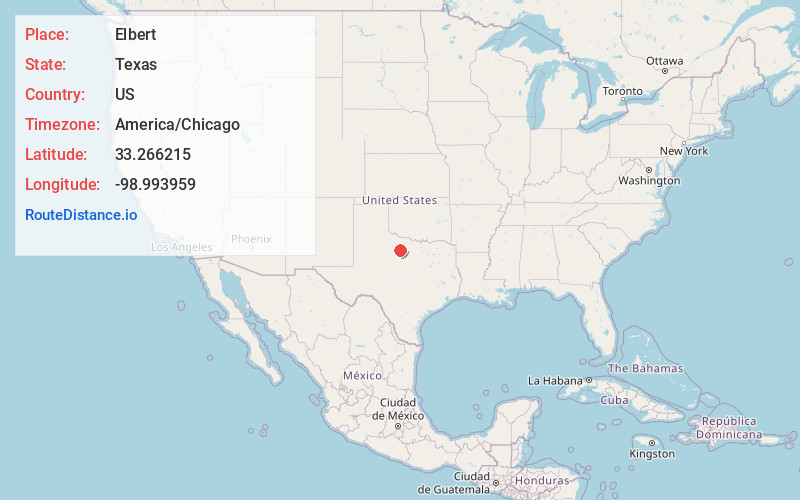
Full AddressElbert, TX 76372
-
Coordinates33.2662152, -98.993959
-
LocationElbert , Texas , US
-
TimezoneAmerica/Chicago
-
Current Local Time12:39:35 AM America/ChicagoFriday, May 30, 2025
-
Page Views0
About Elbert
Elbert is a census-designated place in Throckmorton County, Texas, United States. The CDP was defined in or about the year 2000 by the United States Census Bureau for their use. The CDP includes the small village of Elbert, which was established in or before 1911, for which it is named.
Nearby Places
Found 10 places within 50 miles

Throckmorton
12.2 mi
19.6 km
Throckmorton, TX 76483
Get directions

Megargel
13.4 mi
21.6 km
Megargel, TX 76370
Get directions

Newcastle
15.6 mi
25.1 km
Newcastle, TX 76372
Get directions

Olney
15.7 mi
25.3 km
Olney, TX 76374
Get directions

Woodson
17.7 mi
28.5 km
Woodson, TX 76491
Get directions

Graham
25.8 mi
41.5 km
Graham, TX 76450
Get directions

Seymour
27.4 mi
44.1 km
Seymour, TX 76380
Get directions

Loving
27.9 mi
44.9 km
Loving, TX 76460
Get directions

Archer City
31.1 mi
50.1 km
Archer City, TX
Get directions
Goree
33.6 mi
54.1 km
Goree, TX 76363
Get directions
Location Links
Local Weather
Weather Information
Coming soon!
Location Map
Static map view of Elbert, Texas
Browse Places by Distance
Places within specific distances from Elbert
Short Distances
Long Distances
Click any distance to see all places within that range from Elbert. Distances shown in miles (1 mile ≈ 1.61 kilometers).