Distance to Elberta, North Carolina

Calculating Your Route
Just a moment while we process your request...
Location Information
-
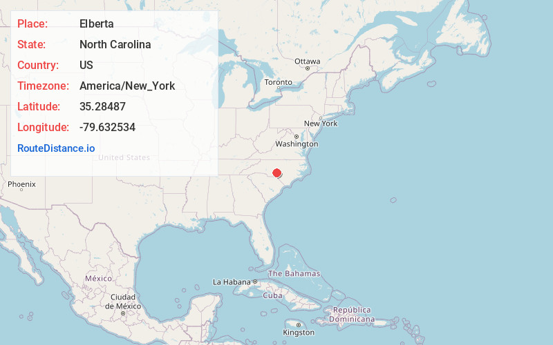
Full AddressElberta, Eagle Springs, NC 27242
-
Coordinates35.2848703, -79.6325344
-
LocationEagle Springs , North Carolina , US
-
TimezoneAmerica/New_York
-
Current Local Time12:45:25 PM America/New_YorkThursday, July 3, 2025
-
Page Views0
About Elberta
Elberta, North Carolina, is at the southern terminus of North Carolina Highway 705, on North Carolina Highway 211, in Moore County, North Carolina.
Nearby Places
Found 10 places within 50 miles

Seven Lakes
3.9 mi
6.3 km
Seven Lakes, NC
Get directions

Zion Grove
4.0 mi
6.4 km
Zion Grove, NC 27242
Get directions

Jackson Springs
5.2 mi
8.4 km
Jackson Springs, NC 27281
Get directions

Candor
6.4 mi
10.3 km
Candor, NC
Get directions
Foxfire
8.1 mi
13.0 km
Foxfire, NC
Get directions

Norman
9.4 mi
15.1 km
Norman, NC
Get directions

Biscoe
9.8 mi
15.8 km
Biscoe, NC 27209
Get directions
Taylortown
9.9 mi
15.9 km
Taylortown, NC
Get directions

Robbins
10.6 mi
17.1 km
Robbins, NC
Get directions

Pinehurst
11.1 mi
17.9 km
Pinehurst, NC
Get directions
Location Links
Local Weather
Weather Information
Coming soon!
Location Map
Static map view of Elberta, North Carolina
Browse Places by Distance
Places within specific distances from Elberta
Short Distances
Long Distances
Click any distance to see all places within that range from Elberta. Distances shown in miles (1 mile ≈ 1.61 kilometers).