Distance to Elberta, Utah

Calculating Your Route
Just a moment while we process your request...
Location Information
-
Full AddressElberta, UT 84633
-
Coordinates39.9549678, -111.95523
-
LocationElberta , Utah , US
-
TimezoneAmerica/Denver
-
Current Local Time9:21:53 PM America/DenverThursday, June 19, 2025
-
Page Views0
About Elberta
Elberta is a census-designated place in Utah County, Utah, United States. It is part of the Provo–Orem Metropolitan Statistical Area. The population was 256 at the 2010 census. It was founded as Mt. Nebo. After the water failed in 1901, most of the early settlers moved away.


Nearby Places
Found 10 places within 50 miles

Goshen
2.9 mi
4.7 km
Goshen, UT 84633
Get directions

Genola
6.6 mi
10.6 km
Genola, UT
Get directions

Rocky Ridge
7.1 mi
11.4 km
Rocky Ridge, UT
Get directions

Eureka
8.7 mi
14.0 km
Eureka, UT 84628
Get directions

Santaquin
9.1 mi
14.6 km
Santaquin, UT
Get directions

Mona
11.0 mi
17.7 km
Mona, UT
Get directions

West Mountain
11.3 mi
18.2 km
West Mountain, UT
Get directions

Spring Lake
11.5 mi
18.5 km
Spring Lake, UT 84651
Get directions

Payson
13.3 mi
21.4 km
Payson, UT
Get directions

Elk Ridge
15.2 mi
24.5 km
Elk Ridge, UT
Get directions
Location Links
Local Weather
Weather Information
Coming soon!
Location Map
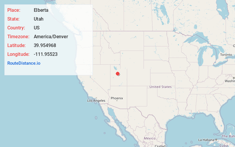
Static map view of Elberta, Utah
Browse Places by Distance
Places within specific distances from Elberta
Short Distances
Long Distances
Click any distance to see all places within that range from Elberta. Distances shown in miles (1 mile ≈ 1.61 kilometers).