Distance to Goshen, Utah

Calculating Your Route
Just a moment while we process your request...
Location Information
-
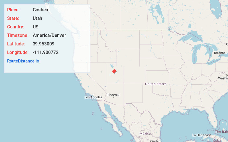
Full AddressGoshen, UT 84633
-
Coordinates39.9530088, -111.9007716
-
LocationGoshen , Utah , US
-
TimezoneAmerica/Denver
-
Current Local Time12:45:32 AM America/DenverSaturday, June 21, 2025
-
Page Views0
About Goshen
Goshen is a town in Utah County, Utah, United States. It is part of the Provo–Orem Metropolitan Statistical Area. The population was 978 at the 2020 census.


Nearby Places
Found 10 places within 50 miles

Genola
4.3 mi
6.9 km
Genola, UT
Get directions

Santaquin
6.3 mi
10.1 km
Santaquin, UT
Get directions

West Mountain
9.3 mi
15.0 km
West Mountain, UT
Get directions

Mona
9.8 mi
15.8 km
Mona, UT
Get directions

Payson
10.9 mi
17.5 km
Payson, UT
Get directions

Elk Ridge
12.5 mi
20.1 km
Elk Ridge, UT
Get directions

Salem
13.9 mi
22.4 km
Salem, UT
Get directions

Woodland Hills
14.0 mi
22.5 km
Woodland Hills, UT
Get directions

Lake Shore
14.7 mi
23.7 km
Lake Shore, UT 84660
Get directions

Nephi
17.1 mi
27.5 km
Nephi, UT 84648
Get directions
Location Links
Local Weather
Weather Information
Coming soon!
Location Map
Static map view of Goshen, Utah
Browse Places by Distance
Places within specific distances from Goshen
Short Distances
Long Distances
Click any distance to see all places within that range from Goshen. Distances shown in miles (1 mile ≈ 1.61 kilometers).