Distance to Salem, Utah

Calculating Your Route
Just a moment while we process your request...
Location Information
-
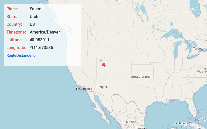
Full AddressSalem, UT
-
Coordinates40.0530105, -111.673536
-
LocationSalem , Utah , US
-
TimezoneAmerica/Denver
-
Current Local Time8:26:46 AM America/DenverSaturday, May 31, 2025
-
Website
-
Page Views0
About Salem
Salem is a city in Utah County, Utah. It is part of the Provo–Orem metropolitan area. The population was 9,298 at the time of the 2020 U.S. census. Landmark locations in Salem include the Dream Mine of John Hyrum Koyle and the Salem Pond.


Nearby Places
Found 10 places within 50 miles

Payson
3.2 mi
5.1 km
Payson, UT
Get directions

Spanish Fork
4.4 mi
7.1 km
Spanish Fork, UT 84660
Get directions

Mapleton
7.3 mi
11.7 km
Mapleton, UT
Get directions

Santaquin
8.0 mi
12.9 km
Santaquin, UT
Get directions

Springville
8.4 mi
13.5 km
Springville, UT
Get directions

Provo
12.5 mi
20.1 km
Provo, UT
Get directions

Orem
16.9 mi
27.2 km
Orem, UT
Get directions

Vineyard
17.9 mi
28.8 km
Vineyard, UT
Get directions

Lindon
20.2 mi
32.5 km
Lindon, UT
Get directions

Pleasant Grove
21.8 mi
35.1 km
Pleasant Grove, UT
Get directions
Location Links
Local Weather
Weather Information
Coming soon!
Location Map
Static map view of Salem, Utah
Browse Places by Distance
Places within specific distances from Salem
Short Distances
Long Distances
Click any distance to see all places within that range from Salem. Distances shown in miles (1 mile ≈ 1.61 kilometers).