Distance to Nephi, Utah

Calculating Your Route
Just a moment while we process your request...
Location Information
-
Full AddressNephi, UT 84648
-
Coordinates39.7102336, -111.8363216
-
LocationNephi , Utah , US
-
TimezoneAmerica/Denver
-
Current Local Time7:19:30 AM America/DenverSunday, June 29, 2025
-
Website
-
Page Views0
About Nephi
Nephi is a city in Juab County, Utah, United States. It is part of the Provo–Orem metropolitan area. The population was 6,443 at the 2020 census. It is the county seat of Juab County. It was settled by Mormon pioneers in 1851 as Salt Creek, and it acquired its current name in 1882.


Nearby Places
Found 10 places within 50 miles

Santaquin
18.5 mi
29.8 km
Santaquin, UT
Get directions

Payson
23.7 mi
38.1 km
Payson, UT
Get directions

Salem
25.2 mi
40.6 km
Salem, UT
Get directions

Spanish Fork
29.6 mi
47.6 km
Spanish Fork, UT 84660
Get directions

Mapleton
32.1 mi
51.7 km
Mapleton, UT
Get directions

Springville
33.6 mi
54.1 km
Springville, UT
Get directions

Provo
37.3 mi
60.0 km
Provo, UT
Get directions

Orem
41.2 mi
66.3 km
Orem, UT
Get directions

Vineyard
41.4 mi
66.6 km
Vineyard, UT
Get directions

Eagle Mountain
42.7 mi
68.7 km
Eagle Mountain, UT
Get directions
Location Links
Local Weather
Weather Information
Coming soon!
Location Map
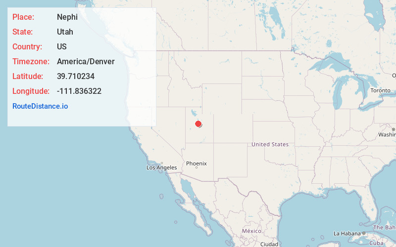
Static map view of Nephi, Utah
Browse Places by Distance
Places within specific distances from Nephi
Short Distances
Long Distances
Click any distance to see all places within that range from Nephi. Distances shown in miles (1 mile ≈ 1.61 kilometers).