Distance to Eldora, Iowa

Calculating Your Route
Just a moment while we process your request...
Location Information
-
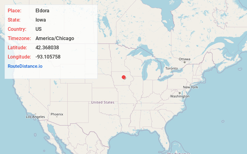
Full AddressEldora, IA 50627
-
Coordinates42.3680382, -93.1057576
-
LocationEldora , Iowa , US
-
TimezoneAmerica/Chicago
-
Current Local Time5:34:42 PM America/ChicagoFriday, June 20, 2025
-
Page Views0
About Eldora
Eldora is a city and the county seat of Hardin County, Iowa, United States. The population was 2,663 at the time of the 2020 census. It is the county seat of Hardin County.


Nearby Places
Found 10 places within 50 miles

Iowa Falls
13.3 mi
21.4 km
Iowa Falls, IA 50126
Get directions

Grundy Center
17.2 mi
27.7 km
Grundy Center, IA 50638
Get directions

Marshalltown
24.2 mi
38.9 km
Marshalltown, IA 50158
Get directions

Hampton
26.4 mi
42.5 km
Hampton, IA 50441
Get directions

Story City
28.0 mi
45.1 km
Story City, IA 50248
Get directions

Nevada
29.7 mi
47.8 km
Nevada, IA 50201
Get directions

Cedar Falls
35.6 mi
57.3 km
Cedar Falls, IA
Get directions

Ames
35.6 mi
57.3 km
Ames, IA
Get directions

Webster City
36.9 mi
59.4 km
Webster City, IA 50595
Get directions

Tama
39.0 mi
62.8 km
Tama, IA
Get directions
Location Links
Local Weather
Weather Information
Coming soon!
Location Map
Static map view of Eldora, Iowa
Browse Places by Distance
Places within specific distances from Eldora
Short Distances
Long Distances
Click any distance to see all places within that range from Eldora. Distances shown in miles (1 mile ≈ 1.61 kilometers).