Distance to and from Electra, Florida
Electra, FL 32179
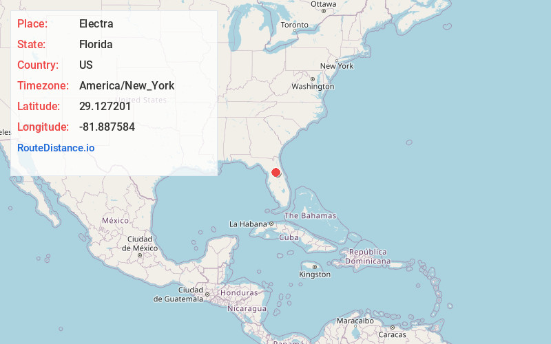
Florida
US
America/New_York
Location Information
-
Full AddressElectra, FL 32179
-
Coordinates29.1272014, -81.8875835
-
LocationFlorida , US
-
TimezoneAmerica/New_York
-
Current Local Time3:25:52 PM America/New_YorkSaturday, May 3, 2025
-
Page Views0
Directions to Nearest Cities
Nearby Places
Found 10 places within 50 miles

Moss Bluff
3.0 mi
4.8 km
Moss Bluff, FL 32179
Get directions

Ocklawaha
6.4 mi
10.3 km
Ocklawaha, FL 32179
Get directions

Lacota
7.7 mi
12.4 km
Lacota, FL 34488
Get directions

Lake Weir
8.0 mi
12.9 km
Lake Weir, Florida
Get directions
Bruceville
8.2 mi
13.2 km
Bruceville, FL 34488
Get directions
Grahamsville
8.7 mi
14.0 km
Grahamsville, FL 34488
Get directions
Starkes Ferry
9.9 mi
15.9 km
Starkes Ferry, FL 32784
Get directions
Montague
11.4 mi
18.3 km
Montague, Ocala, FL 34480
Get directions

Belleview
11.7 mi
18.8 km
Belleview, FL
Get directions

Silver Springs
12.0 mi
19.3 km
Silver Springs, FL
Get directions
Moss Bluff
3.0 mi
4.8 km
Moss Bluff, FL 32179
Ocklawaha
6.4 mi
10.3 km
Ocklawaha, FL 32179
Lacota
7.7 mi
12.4 km
Lacota, FL 34488
Lake Weir
8.0 mi
12.9 km
Lake Weir, Florida
Bruceville
8.2 mi
13.2 km
Bruceville, FL 34488
Grahamsville
8.7 mi
14.0 km
Grahamsville, FL 34488
Starkes Ferry
9.9 mi
15.9 km
Starkes Ferry, FL 32784
Montague
11.4 mi
18.3 km
Montague, Ocala, FL 34480
Belleview
11.7 mi
18.8 km
Belleview, FL
Silver Springs
12.0 mi
19.3 km
Silver Springs, FL
Location Links
Local Weather
Weather Information
Coming soon!
Location Map
Static map view of Electra, Florida
Browse Places by Distance
Places within specific distances from Electra
Short Distances
Long Distances
Click any distance to see all places within that range from Electra. Distances shown in miles (1 mile ≈ 1.61 kilometers).