Distance to Silver Springs, Florida

Calculating Your Route
Just a moment while we process your request...
Location Information
-
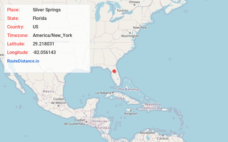
Full AddressSilver Springs, FL
-
Coordinates29.2180314, -82.0561425
-
LocationSilver Springs , Florida , US
-
TimezoneAmerica/New_York
-
Current Local Time6:10:36 AM America/New_YorkSunday, June 8, 2025
-
Page Views0
About Silver Springs
Silver Springs is an unincorporated community and census-designated place in Marion County of northern Florida. It is the site of the Silver Springs, a group of artesian springs and an historic tourist attraction that is now part of Silver Springs State Park. The community is part of the Ocala metropolitan area.


Nearby Places
Found 10 places within 50 miles

Ocala
5.2 mi
8.4 km
Ocala, FL
Get directions

Belleview
11.3 mi
18.2 km
Belleview, FL
Get directions

Marion Oaks
16.4 mi
26.4 km
Marion Oaks, FL
Get directions

The Villages
20.4 mi
32.8 km
The Villages, FL
Get directions

Lady Lake
22.3 mi
35.9 km
Lady Lake, FL
Get directions

Wildwood
24.4 mi
39.3 km
Wildwood, FL
Get directions

Williston
26.3 mi
42.3 km
Williston, FL 32696
Get directions

Rainbow Lakes Estates
27.2 mi
43.8 km
Rainbow Lakes Estates, FL 34431
Get directions

Hernando
29.2 mi
47.0 km
Hernando, FL
Get directions

Citrus Springs
29.3 mi
47.2 km
Citrus Springs, FL
Get directions
Location Links
Local Weather
Weather Information
Coming soon!
Location Map
Static map view of Silver Springs, Florida
Browse Places by Distance
Places within specific distances from Silver Springs
Short Distances
Long Distances
Click any distance to see all places within that range from Silver Springs. Distances shown in miles (1 mile ≈ 1.61 kilometers).