Distance to Hernando, Florida

Calculating Your Route
Just a moment while we process your request...
Location Information
-
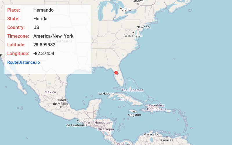
Full AddressHernando, FL
-
Coordinates28.8999815, -82.3745401
-
LocationHernando , Florida , US
-
TimezoneAmerica/New_York
-
Current Local Time5:02:53 PM America/New_YorkFriday, June 20, 2025
-
Page Views0
About Hernando
Hernando is a census-designated place in Citrus County, Florida, United States. The population was 9,284 at the 2020 census, up from 9,054 at the 2010 census. At one time it was a city but it was disincorporated in the 1970s. It is part of the Homosassa Springs, Florida Metropolitan Statistical Area.


Nearby Places
Found 10 places within 50 miles

Citrus Hills
3.6 mi
5.8 km
Citrus Hills, FL
Get directions

Beverly Hills
5.2 mi
8.4 km
Beverly Hills, FL 34465
Get directions

Pine Ridge
6.5 mi
10.5 km
Pine Ridge, FL
Get directions

Citrus Springs
8.9 mi
14.3 km
Citrus Springs, FL
Get directions

Marion Oaks
13.8 mi
22.2 km
Marion Oaks, FL
Get directions

Wildwood
20.5 mi
33.0 km
Wildwood, FL
Get directions

The Villages
22.5 mi
36.2 km
The Villages, FL
Get directions

Brooksville
23.8 mi
38.3 km
Brooksville, FL
Get directions

Ocala
24.5 mi
39.4 km
Ocala, FL
Get directions

Lady Lake
27.3 mi
43.9 km
Lady Lake, FL
Get directions
Location Links
Local Weather
Weather Information
Coming soon!
Location Map
Static map view of Hernando, Florida
Browse Places by Distance
Places within specific distances from Hernando
Short Distances
Long Distances
Click any distance to see all places within that range from Hernando. Distances shown in miles (1 mile ≈ 1.61 kilometers).