Distance to Elk Horn, Kentucky

Calculating Your Route
Just a moment while we process your request...
Location Information
-
Full AddressElk Horn, KY 42733
-
Coordinates37.3164541, -85.285239
-
LocationElk Horn , Kentucky , US
-
TimezoneAmerica/New_York
-
Current Local Time10:01:55 PM America/New_YorkWednesday, June 18, 2025
-
Page Views0
About Elk Horn
Elk Horn is an unincorporated community in Taylor County, Kentucky, United States. It lies along Route 76 southeast of the city of Campbellsville, the county seat of Taylor County. Its elevation is 735 feet. It has a post office with the ZIP code 42733.
A post office in the community was established in 1876.
Nearby Places
Found 10 places within 50 miles

Campbellsville
3.6 mi
5.8 km
Campbellsville, KY 42718
Get directions

Romine
6.6 mi
10.6 km
Romine, KY 42718
Get directions
Spurlington
6.6 mi
10.6 km
Spurlington, KY 42718
Get directions
Sweeneyville
6.7 mi
10.8 km
Sweeneyville, KY 42718
Get directions
Casey Creek
7.7 mi
12.4 km
Casey Creek, KY 42728
Get directions
Bass
7.9 mi
12.7 km
Bass, KY 42733
Get directions
Kellyville
8.5 mi
13.7 km
Kellyville, KY 42728
Get directions

Cane Valley
9.6 mi
15.4 km
Cane Valley, KY 42728
Get directions
Finley
10.5 mi
16.9 km
Finley, KY 42718
Get directions
Merrimac
10.9 mi
17.5 km
Merrimac, KY 40009
Get directions
Location Links
Local Weather
Weather Information
Coming soon!
Location Map
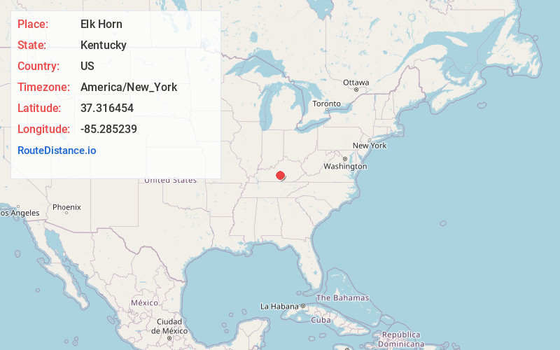
Static map view of Elk Horn, Kentucky
Browse Places by Distance
Places within specific distances from Elk Horn
Short Distances
Long Distances
Click any distance to see all places within that range from Elk Horn. Distances shown in miles (1 mile ≈ 1.61 kilometers).