Distance to Finley, Kentucky

Calculating Your Route
Just a moment while we process your request...
Location Information
-
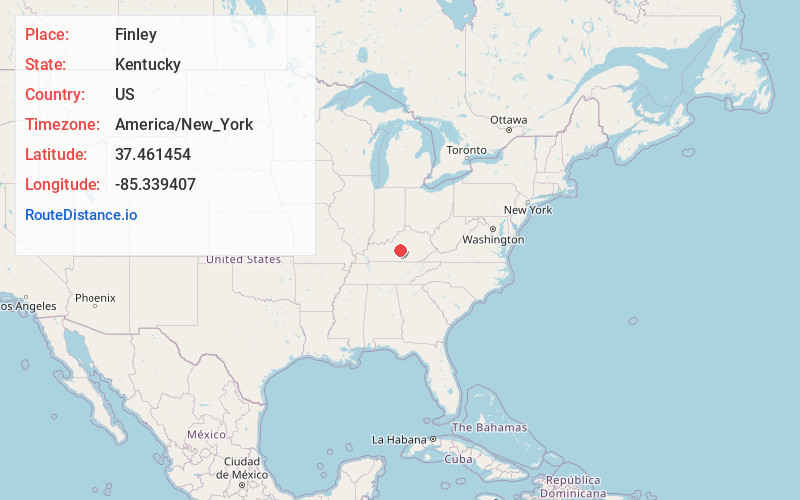
Full AddressFinley, KY 42718
-
Coordinates37.4614535, -85.339407
-
LocationFinley , Kentucky , US
-
TimezoneAmerica/New_York
-
Current Local Time10:47:37 PM America/New_YorkSunday, June 1, 2025
-
Page Views0
About Finley
Finley is an unincorporated community in Taylor County, Kentucky, United States. It lies along Kentucky Route 289 and KY 634 north of the city of Campbellsville, the seat of Taylor County. Its elevation is 1,017 feet.
Nearby Places
Found 10 places within 50 miles

Jessietown
1.6 mi
2.6 km
Jessietown, KY 42718
Get directions
Spurlington
4.9 mi
7.9 km
Spurlington, KY 42718
Get directions
Calvary
5.6 mi
9.0 km
Calvary, KY 40033
Get directions
White Rose
7.2 mi
11.6 km
White Rose, KY 42718
Get directions

Campbellsville
8.2 mi
13.2 km
Campbellsville, KY 42718
Get directions
Sweeneyville
8.2 mi
13.2 km
Sweeneyville, KY 42718
Get directions
St Mary
8.2 mi
13.2 km
St Mary, KY 40033
Get directions
Raywick
8.5 mi
13.7 km
Raywick, KY
Get directions

Lebanon
8.9 mi
14.3 km
Lebanon, KY 40033
Get directions
Pitman
10.0 mi
16.1 km
Pitman, KY 42718
Get directions
Location Links
Local Weather
Weather Information
Coming soon!
Location Map
Static map view of Finley, Kentucky
Browse Places by Distance
Places within specific distances from Finley
Short Distances
Long Distances
Click any distance to see all places within that range from Finley. Distances shown in miles (1 mile ≈ 1.61 kilometers).