Distance to Jessietown, Kentucky

Calculating Your Route
Just a moment while we process your request...
Location Information
-
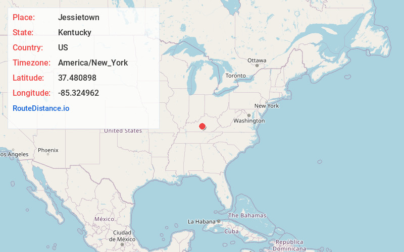
Full AddressJessietown, KY 42718
-
Coordinates37.4808982, -85.3249623
-
LocationKentucky , US
-
TimezoneAmerica/New_York
-
Current Local Time12:05:48 AM America/New_YorkFriday, June 20, 2025
-
Page Views0
Nearby Places
Found 10 places within 50 miles

Spurlington
5.5 mi
8.9 km
Spurlington, KY 42718
Get directions
St Mary
7.0 mi
11.3 km
St Mary, KY 40033
Get directions

Lebanon
7.3 mi
11.7 km
Lebanon, KY 40033
Get directions
Raywick
8.0 mi
12.9 km
Raywick, KY
Get directions
White Rose
8.5 mi
13.7 km
White Rose, KY 42718
Get directions

Campbellsville
9.5 mi
15.3 km
Campbellsville, KY 42718
Get directions
Bradfordsville
9.7 mi
15.6 km
Bradfordsville, KY 40009
Get directions
Sweeneyville
9.8 mi
15.8 km
Sweeneyville, KY 42718
Get directions
Penick
11.3 mi
18.2 km
Penick, KY 40033
Get directions

Loretto
11.4 mi
18.3 km
Loretto, KY 40037
Get directions
Location Links
Local Weather
Weather Information
Coming soon!
Location Map
Static map view of Jessietown, Kentucky
Browse Places by Distance
Places within specific distances from Jessietown
Short Distances
Long Distances
Click any distance to see all places within that range from Jessietown. Distances shown in miles (1 mile ≈ 1.61 kilometers).