Distance to and from Elkatawa, Kentucky
Elkatawa, KY 41339
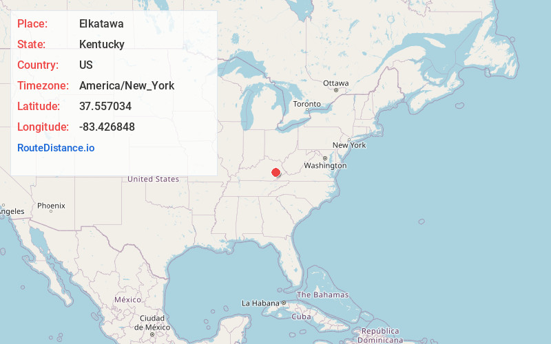
Elkatawa
Kentucky
US
America/New_York
Location Information
-
Full AddressElkatawa, KY 41339
-
Coordinates37.5570338, -83.4268483
-
LocationElkatawa , Kentucky , US
-
TimezoneAmerica/New_York
-
Current Local Time8:07:22 PM America/New_YorkMonday, May 5, 2025
-
Page Views0
Directions to Nearest Cities
About Elkatawa
Elkatawa is an unincorporated community and coal town in Breathitt County, Kentucky, United States.
A post office was established in 1891, with Eli C. Jones postmaster. The name Elkatawa is possibly a corruption of Tenskwatawa.
Nearby Places
Found 10 places within 50 miles

Wolverine
1.9 mi
3.1 km
Wolverine, KY 41339
Get directions

Jackson
2.4 mi
3.9 km
Jackson, KY 41339
Get directions
Fivemile
2.7 mi
4.3 km
Fivemile, KY 41339
Get directions
Chenowee
3.1 mi
5.0 km
Chenowee, KY 41339
Get directions
Quicksand
4.9 mi
7.9 km
Quicksand, KY 41339
Get directions
Noctor
4.9 mi
7.9 km
Noctor, KY 41339
Get directions
Oakdale
4.9 mi
7.9 km
Oakdale, KY 41339
Get directions
Sewell
5.2 mi
8.4 km
Sewell, KY 41385
Get directions
Pence
5.9 mi
9.5 km
Pence, KY 41301
Get directions
Copebranch
6.1 mi
9.8 km
Copebranch, KY 41339
Get directions
Wolverine
1.9 mi
3.1 km
Wolverine, KY 41339
Jackson
2.4 mi
3.9 km
Jackson, KY 41339
Fivemile
2.7 mi
4.3 km
Fivemile, KY 41339
Chenowee
3.1 mi
5.0 km
Chenowee, KY 41339
Quicksand
4.9 mi
7.9 km
Quicksand, KY 41339
Noctor
4.9 mi
7.9 km
Noctor, KY 41339
Oakdale
4.9 mi
7.9 km
Oakdale, KY 41339
Sewell
5.2 mi
8.4 km
Sewell, KY 41385
Pence
5.9 mi
9.5 km
Pence, KY 41301
Copebranch
6.1 mi
9.8 km
Copebranch, KY 41339
Location Links
Local Weather
Weather Information
Coming soon!
Location Map
Static map view of Elkatawa, Kentucky
Browse Places by Distance
Places within specific distances from Elkatawa
Short Distances
Long Distances
Click any distance to see all places within that range from Elkatawa. Distances shown in miles (1 mile ≈ 1.61 kilometers).