Distance to Elkhorn, California

Calculating Your Route
Just a moment while we process your request...
Location Information
-
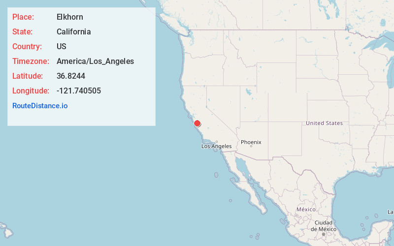
Full AddressElkhorn, CA
-
Coordinates36.8243999, -121.7405047
-
LocationElkhorn , California , US
-
TimezoneAmerica/Los_Angeles
-
Current Local Time10:30:10 PM America/Los_AngelesSunday, June 1, 2025
-
Page Views0
About Elkhorn
Elkhorn is an unincorporated community and census-designated place in Monterey County, California, United States.
Elkhorn was originally a stop on the Southern Pacific Railroad 4 miles north of Castroville, at an elevation of 10 feet.
Nearby Places
Found 10 places within 50 miles

Las Lomas
2.8 mi
4.5 km
Las Lomas, CA 95076
Get directions

Castroville
4.4 mi
7.1 km
Castroville, CA
Get directions

Prunedale
5.2 mi
8.4 km
Prunedale, CA
Get directions

Pajaro
5.5 mi
8.9 km
Pajaro, CA 95076
Get directions

Watsonville
6.0 mi
9.7 km
Watsonville, CA
Get directions

Aromas
7.0 mi
11.3 km
Aromas, CA 95004
Get directions

Freedom
8.6 mi
13.8 km
Freedom, CA
Get directions

Interlaken
8.8 mi
14.2 km
Interlaken, CA 95076
Get directions

Boronda
9.4 mi
15.1 km
Boronda, CA 93907
Get directions
Amesti
9.8 mi
15.8 km
Amesti, CA 95076
Get directions
Location Links
Local Weather
Weather Information
Coming soon!
Location Map
Static map view of Elkhorn, California
Browse Places by Distance
Places within specific distances from Elkhorn
Short Distances
Long Distances
Click any distance to see all places within that range from Elkhorn. Distances shown in miles (1 mile ≈ 1.61 kilometers).