Distance to Elkinsville, Indiana

Calculating Your Route
Just a moment while we process your request...
Location Information
-
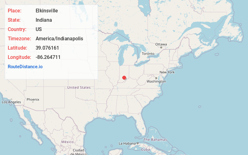
Full AddressElkinsville, Van Buren Township, IN 47448
-
Coordinates39.0761609, -86.2647107
-
LocationVan Buren Township , Indiana , US
-
TimezoneAmerica/Indianapolis
-
Page Views0
About Elkinsville
Elkinsville is an unincorporated community in Van Buren Township, Brown County, in the U.S. state of Indiana. It was once a thriving farming village, but was evacuated during the construction of nearby Lake Monroe Reservoir by eminent domain in 1964.
Nearby Places
Found 10 places within 50 miles

Maumee
3.8 mi
6.1 km
Maumee, IN 47264
Get directions
Houston
5.8 mi
9.3 km
Houston, IN 47264
Get directions
Christiansburg
5.9 mi
9.5 km
Christiansburg, Van Buren Township, IN 47201
Get directions
Bald Knobs
6.4 mi
10.3 km
Bald Knobs, Pershing Township, IN 47235
Get directions

Stone Head
6.8 mi
10.9 km
Stone Head, Van Buren Township, IN 47448
Get directions
Belmont
6.9 mi
11.1 km
Belmont, IN 47448
Get directions
Pikes Peak
7.6 mi
12.2 km
Pikes Peak, Van Buren Township, IN 47201
Get directions
Becks Grove
7.9 mi
12.7 km
Becks Grove, Van Buren Township, IN 47235
Get directions
Camp Roberts
8.0 mi
12.9 km
Camp Roberts, IN 47448
Get directions
Woodville Hills
8.2 mi
13.2 km
Woodville Hills, IN 47401
Get directions
Location Links
Local Weather
Weather Information
Coming soon!
Location Map
Static map view of Elkinsville, Indiana
Browse Places by Distance
Places within specific distances from Elkinsville
Short Distances
Long Distances
Click any distance to see all places within that range from Elkinsville. Distances shown in miles (1 mile ≈ 1.61 kilometers).