Distance to Ellenton, Florida

Calculating Your Route
Just a moment while we process your request...
Location Information
-
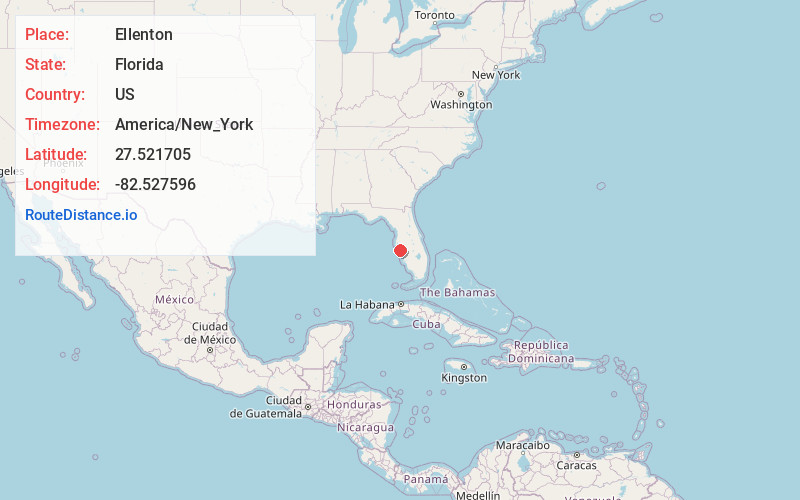
Full AddressEllenton, FL
-
Coordinates27.521705, -82.5275963
-
LocationEllenton , Florida , US
-
TimezoneAmerica/New_York
-
Current Local Time2:25:37 AM America/New_YorkTuesday, July 1, 2025
-
Page Views0
About Ellenton
Ellenton is an unincorporated community and census-designated place in Manatee County, Florida, United States. The population was 4,129 at the 2020 census, down from 4,275 at the 2010 census. It is part of the North Port-Bradenton-Sarasota, Florida Metropolitan Statistical Area.


Nearby Places
Found 10 places within 50 miles

Memphis
2.3 mi
3.7 km
Memphis, FL
Get directions

Palmetto
2.7 mi
4.3 km
Palmetto, FL
Get directions

Bradenton
3.2 mi
5.1 km
Bradenton, FL
Get directions
West Samoset
3.7 mi
6.0 km
West Samoset, FL
Get directions
South Bradenton
5.2 mi
8.4 km
South Bradenton, FL
Get directions

Bayshore Gardens
7.7 mi
12.4 km
Bayshore Gardens, FL
Get directions

Lakewood Ranch
9.7 mi
15.6 km
Lakewood Ranch, FL
Get directions

Longboat Key
11.0 mi
17.7 km
Longboat Key, FL
Get directions

The Meadows
11.6 mi
18.7 km
The Meadows, FL 34235
Get directions

Sarasota
12.8 mi
20.6 km
Sarasota, FL
Get directions
Location Links
Local Weather
Weather Information
Coming soon!
Location Map
Static map view of Ellenton, Florida
Browse Places by Distance
Places within specific distances from Ellenton
Short Distances
Long Distances
Click any distance to see all places within that range from Ellenton. Distances shown in miles (1 mile ≈ 1.61 kilometers).