Distance to Elliott Crossroads, Ohio

Calculating Your Route
Just a moment while we process your request...
Location Information
-
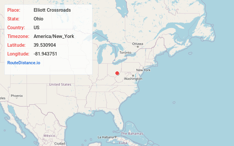
Full AddressElliott Crossroads, Homer Township, OH 43728
-
Coordinates39.5309044, -81.9437511
-
LocationHomer Township , Ohio , US
-
TimezoneAmerica/New_York
-
Current Local Time4:03:54 PM America/New_YorkSunday, June 15, 2025
-
Page Views0
Nearby Places
Found 10 places within 50 miles

Westland
2.7 mi
4.3 km
Westland, OH 43728
Get directions

Chesterhill
5.1 mi
8.2 km
Chesterhill, OH 43728
Get directions
Morganville
7.0 mi
11.3 km
Morganville, OH 43758
Get directions

Glouster
7.7 mi
12.4 km
Glouster, OH 45732
Get directions

Trimble
7.9 mi
12.7 km
Trimble, OH
Get directions

Stockport
8.1 mi
13.0 km
Stockport, OH 43787
Get directions

Jacksonville
8.3 mi
13.4 km
Jacksonville, OH
Get directions
McLeish
8.4 mi
13.5 km
McLeish, Trimble Township, OH 45732
Get directions

Amesville
9.0 mi
14.5 km
Amesville, OH 45711
Get directions

Corning
9.2 mi
14.8 km
Corning, OH 43730
Get directions
Location Links
Local Weather
Weather Information
Coming soon!
Location Map
Static map view of Elliott Crossroads, Ohio
Browse Places by Distance
Places within specific distances from Elliott Crossroads
Short Distances
Long Distances
Click any distance to see all places within that range from Elliott Crossroads. Distances shown in miles (1 mile ≈ 1.61 kilometers).