Distance to Elm Grove, Texas

Calculating Your Route
Just a moment while we process your request...
Location Information
-
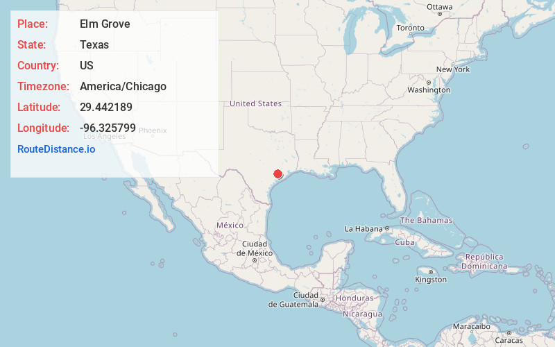
Full AddressElm Grove, TX 77434
-
Coordinates29.4421885, -96.3257989
-
LocationElm Grove , Texas , US
-
TimezoneAmerica/Chicago
-
Current Local Time12:25:36 AM America/ChicagoThursday, June 19, 2025
-
Page Views0
About Elm Grove
Elm Grove is an unincorporated community at the northern edge of Wharton County, in the U.S. state of Texas. The very small community is situated on Farm to Market Road 2614, to the south of Eagle Lake, which is in Colorado County.
Nearby Places
Found 10 places within 50 miles

Garwood
4.3 mi
6.9 km
Garwood, TX
Get directions

Nada
4.5 mi
7.2 km
Nada, TX
Get directions
New Taiton
9.2 mi
14.8 km
New Taiton, TX 77437
Get directions

Eagle Lake
10.2 mi
16.4 km
Eagle Lake, TX 77434
Get directions
Glen Flora
10.3 mi
16.6 km
Glen Flora, TX
Get directions
Hoefer
12.1 mi
19.5 km
Hoefer, TX 77435
Get directions

Hungerford
15.3 mi
24.6 km
Hungerford, TX
Get directions
Rock Island
16.1 mi
25.9 km
Rock Island, TX
Get directions

Wharton
16.2 mi
26.1 km
Wharton, TX 77488
Get directions

East Bernard
16.5 mi
26.6 km
East Bernard, TX 77435
Get directions
Location Links
Local Weather
Weather Information
Coming soon!
Location Map
Static map view of Elm Grove, Texas
Browse Places by Distance
Places within specific distances from Elm Grove
Short Distances
Long Distances
Click any distance to see all places within that range from Elm Grove. Distances shown in miles (1 mile ≈ 1.61 kilometers).