Distance to Elma, Iowa

Calculating Your Route
Just a moment while we process your request...
Location Information
-
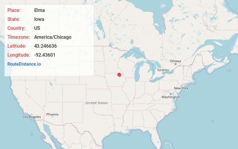
Full AddressElma, IA 50628
-
Coordinates43.2466362, -92.4360102
-
LocationElma , Iowa , US
-
TimezoneAmerica/Chicago
-
Current Local Time12:54:29 PM America/ChicagoTuesday, June 24, 2025
-
Page Views0
About Elma
Elma is a city in Howard County, Iowa, United States. The population was 505 at the time of the 2020 census.


Nearby Places
Found 10 places within 50 miles

Riceville
10.0 mi
16.1 km
Riceville, IA 50466
Get directions

New Hampton
14.3 mi
23.0 km
New Hampton, IA 50659
Get directions

Charles City
17.2 mi
27.7 km
Charles City, IA 50616
Get directions

Le Roy
18.5 mi
29.8 km
Le Roy, MN 55951
Get directions

Cresco
18.7 mi
30.1 km
Cresco, IA 52136
Get directions

Osage
19.4 mi
31.2 km
Osage, IA 50461
Get directions

Nashua
21.0 mi
33.8 km
Nashua, IA 50658
Get directions

Fredericksburg
22.8 mi
36.7 km
Fredericksburg, IA 50630
Get directions

St Ansgar
26.0 mi
41.8 km
St Ansgar, IA 50472
Get directions
Adams
26.2 mi
42.2 km
Adams, MN 55909
Get directions
Location Links
Local Weather
Weather Information
Coming soon!
Location Map
Static map view of Elma, Iowa
Browse Places by Distance
Places within specific distances from Elma
Short Distances
Long Distances
Click any distance to see all places within that range from Elma. Distances shown in miles (1 mile ≈ 1.61 kilometers).