Distance to Elmdale, Indiana

Calculating Your Route
Just a moment while we process your request...
Location Information
-
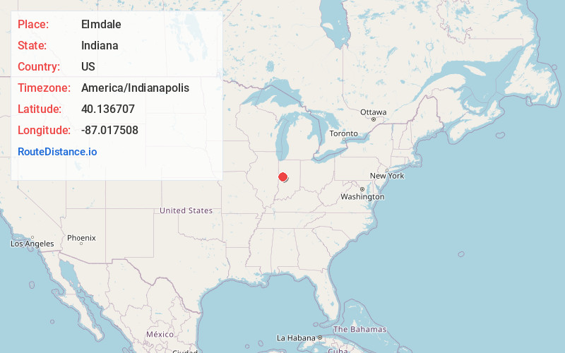
Full AddressElmdale, Coal Creek Township, IN 47967
-
Coordinates40.1367071, -87.0175079
-
LocationCoal Creek Township , Indiana , US
-
TimezoneAmerica/Indianapolis
-
Page Views0
About Elmdale
Elmdale is an unincorporated community in Coal Creek Township, Montgomery County, in the U.S. state of Indiana.
Nearby Places
Found 10 places within 50 miles

Wingate
3.8 mi
6.1 km
Wingate, IN
Get directions

Waynetown
4.1 mi
6.6 km
Waynetown, IN 47990
Get directions

New Richmond
4.6 mi
7.4 km
New Richmond, IN
Get directions

Wesley
4.8 mi
7.7 km
Wesley, IN 47990
Get directions
Cherry Grove
6.0 mi
9.7 km
Cherry Grove, IN 47933
Get directions

Linden
7.0 mi
11.3 km
Linden, IN
Get directions
Mellott
7.2 mi
11.6 km
Mellott, IN
Get directions

Hillsboro
7.7 mi
12.4 km
Hillsboro, IN 47949
Get directions

Newtown
8.3 mi
13.4 km
Newtown, IN
Get directions
Fiskville
8.9 mi
14.3 km
Fiskville, Crawfordsville, IN 47933
Get directions
Location Links
Local Weather
Weather Information
Coming soon!
Location Map
Static map view of Elmdale, Indiana
Browse Places by Distance
Places within specific distances from Elmdale
Short Distances
Long Distances
Click any distance to see all places within that range from Elmdale. Distances shown in miles (1 mile ≈ 1.61 kilometers).