Distance to Linden, Indiana

Calculating Your Route
Just a moment while we process your request...
Location Information
-
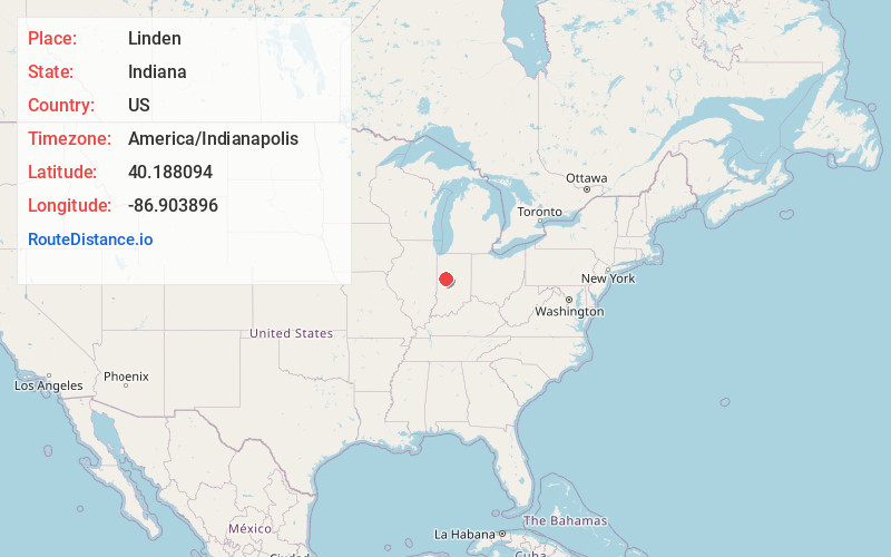
Full AddressLinden, IN
-
Coordinates40.1880944, -86.9038959
-
LocationLinden , Indiana , US
-
TimezoneAmerica/Indianapolis
-
Page Views0
About Linden
Linden is a town in Madison Township, Montgomery County, in the U.S. state of Indiana. The population was 711 at the 2020 census.


Nearby Places
Found 10 places within 50 miles

Darlington
8.8 mi
14.2 km
Darlington, IN
Get directions

Crawfordsville
10.3 mi
16.6 km
Crawfordsville, IN 47933
Get directions

Clarks Hill
10.3 mi
16.6 km
Clarks Hill, IN 47930
Get directions

Waynetown
10.8 mi
17.4 km
Waynetown, IN 47990
Get directions

Colfax
12.5 mi
20.1 km
Colfax, IN 46035
Get directions

Shadeland
13.0 mi
20.9 km
Shadeland, IN
Get directions

Hillsboro
14.6 mi
23.5 km
Hillsboro, IN 47949
Get directions

Dayton
14.7 mi
23.7 km
Dayton, IN
Get directions

Lake Holiday
15.5 mi
24.9 km
Lake Holiday, IN 47933
Get directions

Lafayette
15.9 mi
25.6 km
Lafayette, IN
Get directions
Location Links
Local Weather
Weather Information
Coming soon!
Location Map
Static map view of Linden, Indiana
Browse Places by Distance
Places within specific distances from Linden
Short Distances
Long Distances
Click any distance to see all places within that range from Linden. Distances shown in miles (1 mile ≈ 1.61 kilometers).