Distance to Elmore, Ohio

Calculating Your Route
Just a moment while we process your request...
Location Information
-
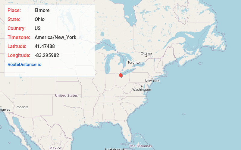
Full AddressElmore, OH 43416
-
Coordinates41.47488, -83.295982
-
LocationElmore , Ohio , US
-
TimezoneAmerica/New_York
-
Current Local Time10:21:12 AM America/New_YorkSaturday, June 21, 2025
-
Website
-
Page Views0
About Elmore
Elmore is a village in Ottawa and Sandusky counties in the U.S. state of Ohio. The population was 1,370 at the 2020 census.
The Ottawa County portion of Elmore is part of the Toledo Metropolitan Statistical Area, while the Sandusky County portion is part of the Fremont Micropolitan Statistical Area.


Nearby Places
Found 10 places within 50 miles

Woodville
4.0 mi
6.4 km
Woodville, OH 43469
Get directions

Genoa
4.4 mi
7.1 km
Genoa, OH 43430
Get directions

Gibsonburg
6.4 mi
10.3 km
Gibsonburg, OH 43431
Get directions

Oak Harbor
8.0 mi
12.9 km
Oak Harbor, OH 43449
Get directions

Stony Prairie
11.7 mi
18.8 km
Stony Prairie, OH 43420
Get directions

Fremont
12.5 mi
20.1 km
Fremont, OH 43420
Get directions

Northwood
12.8 mi
20.6 km
Northwood, OH
Get directions
Walbridge
12.8 mi
20.6 km
Walbridge, OH 43465
Get directions
Ballville
13.2 mi
21.2 km
Ballville, OH 43420
Get directions

Oregon
15.3 mi
24.6 km
Oregon, OH
Get directions
Location Links
Local Weather
Weather Information
Coming soon!
Location Map
Static map view of Elmore, Ohio
Browse Places by Distance
Places within specific distances from Elmore
Short Distances
Long Distances
Click any distance to see all places within that range from Elmore. Distances shown in miles (1 mile ≈ 1.61 kilometers).