Distance to Genoa, Ohio

Calculating Your Route
Just a moment while we process your request...
Location Information
-
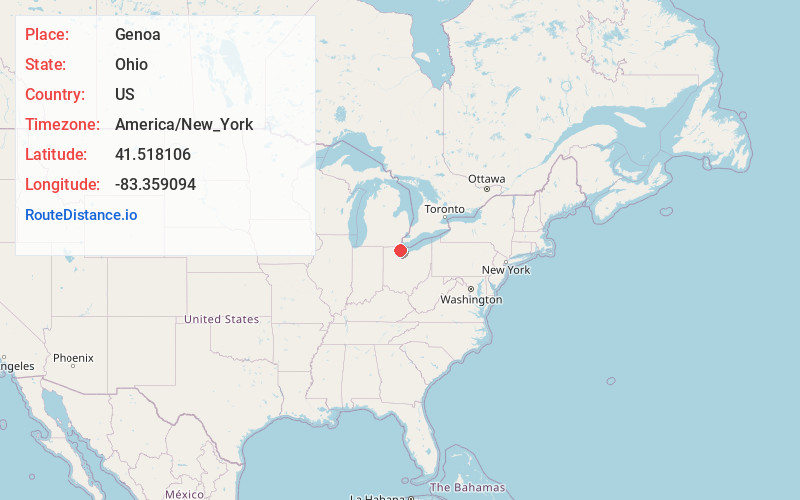
Full AddressGenoa, OH 43430
-
Coordinates41.5181064, -83.359094
-
LocationGenoa , Ohio , US
-
TimezoneAmerica/New_York
-
Current Local Time5:39:43 PM America/New_YorkFriday, June 20, 2025
-
Page Views0
About Genoa
Genoa is a village in Ottawa County, Ohio, United States. The population was 2,232 at the 2020 census. Originally settled as Stony Ridge, it took its present name in 1856 and was incorporated as a village on September 7, 1868.


Nearby Places
Found 10 places within 50 miles

Northwood
8.4 mi
13.5 km
Northwood, OH
Get directions

Walbridge
8.4 mi
13.5 km
Walbridge, OH 43465
Get directions

Gibsonburg
9.4 mi
15.1 km
Gibsonburg, OH 43431
Get directions

Oregon
10.9 mi
17.5 km
Oregon, OH
Get directions

Oak Harbor
11.0 mi
17.7 km
Oak Harbor, OH 43449
Get directions

Rossford
12.4 mi
20.0 km
Rossford, OH
Get directions

Toledo
13.1 mi
21.1 km
Toledo, OH
Get directions

Perrysburg
14.1 mi
22.7 km
Perrysburg, OH 43551
Get directions

Maumee
15.6 mi
25.1 km
Maumee, OH
Get directions

Fremont
16.9 mi
27.2 km
Fremont, OH 43420
Get directions
Location Links
Local Weather
Weather Information
Coming soon!
Location Map
Static map view of Genoa, Ohio
Browse Places by Distance
Places within specific distances from Genoa
Short Distances
Long Distances
Click any distance to see all places within that range from Genoa. Distances shown in miles (1 mile ≈ 1.61 kilometers).