Distance to Rossford, Ohio

Calculating Your Route
Just a moment while we process your request...
Location Information
-
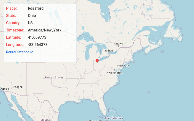
Full AddressRossford, OH
-
Coordinates41.6097726, -83.5643781
-
LocationRossford , Ohio , US
-
TimezoneAmerica/New_York
-
Current Local Time1:06:12 PM America/New_YorkMonday, June 2, 2025
-
Website
-
Page Views0
About Rossford
Rossford is a city in Wood County, Ohio, United States, located along the Maumee River in the Toledo metropolitan area. The population was 6,299 at the 2020 census. The town includes the intersection of Interstate 75 and the Ohio Turnpike. Rossford Public Library and WPAY serve the community.


Nearby Places
Found 10 places within 50 miles

Toledo
3.3 mi
5.3 km
Toledo, OH
Get directions

Oregon
4.6 mi
7.4 km
Oregon, OH
Get directions

Perrysburg
4.9 mi
7.9 km
Perrysburg, OH 43551
Get directions

Maumee
5.6 mi
9.0 km
Maumee, OH
Get directions

Lambertville
10.4 mi
16.7 km
Lambertville, MI
Get directions

Sylvania
10.8 mi
17.4 km
Sylvania, OH
Get directions

Temperance
11.7 mi
18.8 km
Temperance, MI 48182
Get directions

Bowling Green
16.8 mi
27.0 km
Bowling Green, OH
Get directions

Monroe
22.9 mi
36.9 km
Monroe, MI
Get directions

Fremont
29.1 mi
46.8 km
Fremont, OH 43420
Get directions
Location Links
Local Weather
Weather Information
Coming soon!
Location Map
Static map view of Rossford, Ohio
Browse Places by Distance
Places within specific distances from Rossford
Short Distances
Long Distances
Click any distance to see all places within that range from Rossford. Distances shown in miles (1 mile ≈ 1.61 kilometers).