Distance to Lambertville, Michigan

Calculating Your Route
Just a moment while we process your request...
Location Information
-
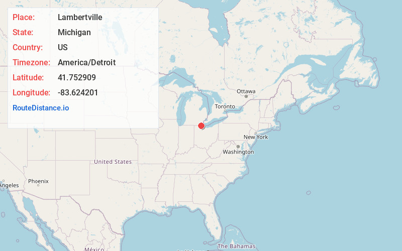
Full AddressLambertville, MI
-
Coordinates41.7529088, -83.624201
-
LocationLambertville , Michigan , US
-
TimezoneAmerica/Detroit
-
Current Local Time2:42:43 PM America/DetroitWednesday, June 18, 2025
-
Page Views0
About Lambertville
Lambertville is an unincorporated community and census-designated place in Monroe County in the U.S. state of Michigan. The population was 10,433 at the 2020 census. The CDP is located within Bedford Township.


Nearby Places
Found 10 places within 50 miles

Sylvania
5.1 mi
8.2 km
Sylvania, OH
Get directions

Toledo
8.2 mi
13.2 km
Toledo, OH
Get directions

Oregon
10.4 mi
16.7 km
Oregon, OH
Get directions

Maumee
13.2 mi
21.2 km
Maumee, OH
Get directions

Perrysburg
13.5 mi
21.7 km
Perrysburg, OH 43551
Get directions

Monroe
16.2 mi
26.1 km
Monroe, MI
Get directions

Adrian
23.5 mi
37.8 km
Adrian, MI 49221
Get directions

Bowling Green
26.2 mi
42.2 km
Bowling Green, OH
Get directions

Flat Rock
29.2 mi
47.0 km
Flat Rock, MI
Get directions

Woodhaven
33.1 mi
53.3 km
Woodhaven, MI 48183
Get directions
Location Links
Local Weather
Weather Information
Coming soon!
Location Map
Static map view of Lambertville, Michigan
Browse Places by Distance
Places within specific distances from Lambertville
Short Distances
Long Distances
Click any distance to see all places within that range from Lambertville. Distances shown in miles (1 mile ≈ 1.61 kilometers).