Distance to Elmrock, Kentucky

Calculating Your Route
Just a moment while we process your request...
Location Information
-
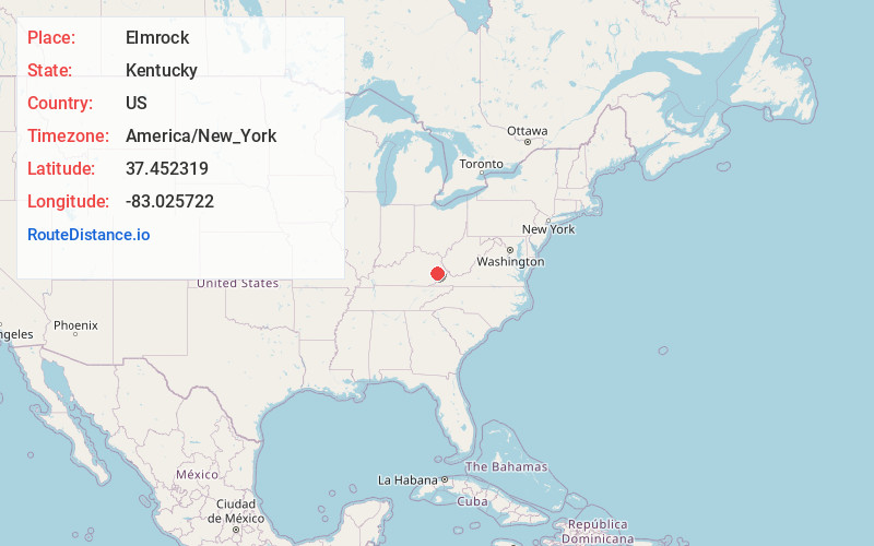
Full AddressElmrock, KY 41339
-
Coordinates37.4523189, -83.0257224
-
LocationElmrock , Kentucky , US
-
TimezoneAmerica/New_York
-
Current Local Time7:47:45 AM America/New_YorkFriday, May 30, 2025
-
Page Views0
About Elmrock
Elmrock is an unincorporated community in Knott County, Kentucky, United States. Elmrock is located on Kentucky Route 1098 8.4 miles north-northwest of Hindman. Elmrock had a post office from August 9, 1911, to September 2, 1989. The community was named for a large elm tree and large rock in the town.
Nearby Places
Found 10 places within 50 miles

Vest
4.0 mi
6.4 km
Vest, KY 41831
Get directions

Bearville
6.2 mi
10.0 km
Bearville, KY 41740
Get directions
Tina
6.3 mi
10.1 km
Tina, KY 41772
Get directions
Bolyn
6.6 mi
10.6 km
Bolyn, KY 41630
Get directions
Handshoe
6.7 mi
10.8 km
Handshoe, KY 41640
Get directions

Carrie
8.3 mi
13.4 km
Carrie, KY 41740
Get directions

Hindman
8.4 mi
13.5 km
Hindman, KY 41822
Get directions
Mousie
8.4 mi
13.5 km
Mousie, KY
Get directions
Noble
8.9 mi
14.3 km
Noble, KY 41317
Get directions
Hippo
10.2 mi
16.4 km
Hippo, KY 41653
Get directions
Location Links
Local Weather
Weather Information
Coming soon!
Location Map
Static map view of Elmrock, Kentucky
Browse Places by Distance
Places within specific distances from Elmrock
Short Distances
Long Distances
Click any distance to see all places within that range from Elmrock. Distances shown in miles (1 mile ≈ 1.61 kilometers).