Distance to Vest, Kentucky

Calculating Your Route
Just a moment while we process your request...
Location Information
-
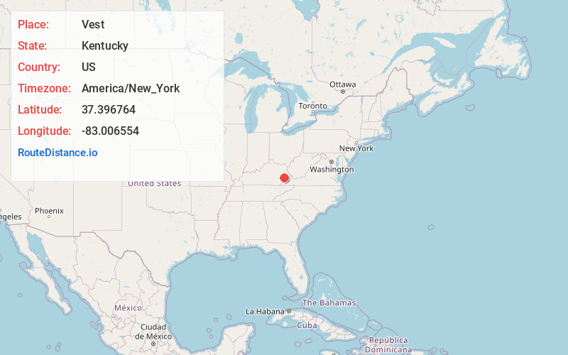
Full AddressVest, KY 41831
-
Coordinates37.396764, -83.0065542
-
LocationVest , Kentucky , US
-
TimezoneAmerica/New_York
-
Current Local Time5:41:54 PM America/New_YorkTuesday, June 3, 2025
-
Page Views0
About Vest
Vest is a post office in Knott County, Kentucky, United States, at the mouth of the Trace Branch of Balls Fork.
It serves a store, a crafts centre, and a school.


Nearby Places
Found 10 places within 50 miles

Hindman
4.4 mi
7.1 km
Hindman, KY 41822
Get directions

Carrie
4.7 mi
7.6 km
Carrie, KY 41740
Get directions

Brinkley
6.8 mi
10.9 km
Brinkley, KY 41822
Get directions
Mousie
7.2 mi
11.6 km
Mousie, KY
Get directions
Pippa Passes
8.4 mi
13.5 km
Pippa Passes, KY 41844
Get directions
Lackey
10.9 mi
17.5 km
Lackey, KY 41630
Get directions
Pine Top
11.0 mi
17.7 km
Pine Top, KY 41843
Get directions

West Garrett
11.2 mi
18.0 km
West Garrett, KY 41630
Get directions

Glo
11.4 mi
18.3 km
Glo, KY 41666
Get directions
Wayland
11.5 mi
18.5 km
Wayland, KY 41666
Get directions
Location Links
Local Weather
Weather Information
Coming soon!
Location Map
Static map view of Vest, Kentucky
Browse Places by Distance
Places within specific distances from Vest
Short Distances
Long Distances
Click any distance to see all places within that range from Vest. Distances shown in miles (1 mile ≈ 1.61 kilometers).