Distance to Glo, Kentucky

Calculating Your Route
Just a moment while we process your request...
Location Information
-
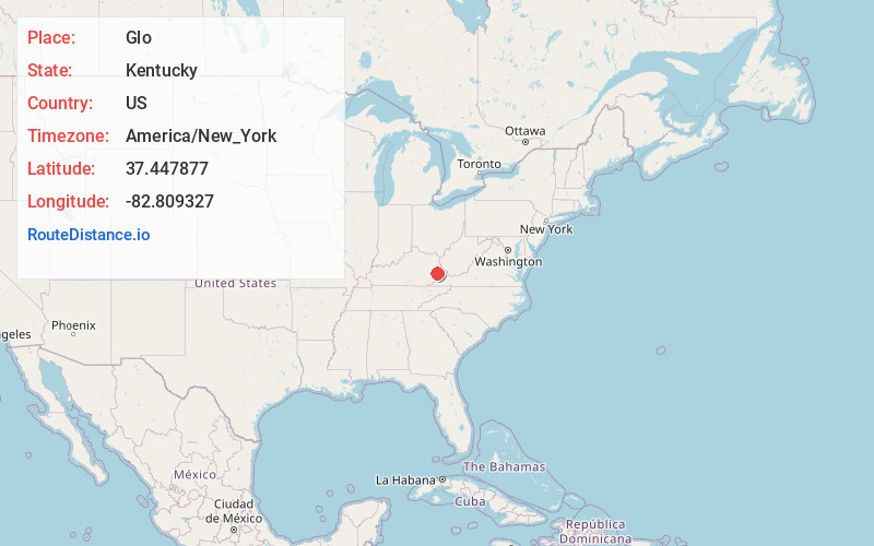
Full AddressGlo, KY 41666
-
Coordinates37.4478774, -82.8093269
-
LocationKentucky , US
-
TimezoneAmerica/New_York
-
Current Local Time11:24:48 PM America/New_YorkWednesday, June 11, 2025
-
Page Views0
About Glo
Glo is an unincorporated community and coal town located in Floyd County, Kentucky, United States.

Nearby Places
Found 10 places within 50 miles

Wayland
0.3 mi
0.5 km
Wayland, KY 41666
Get directions
Lackey
1.8 mi
2.9 km
Lackey, KY 41630
Get directions

West Garrett
2.9 mi
4.7 km
West Garrett, KY 41630
Get directions

McDowell
4.0 mi
6.4 km
McDowell, KY
Get directions
Drift
4.1 mi
6.6 km
Drift, KY 41619
Get directions
Mousie
4.3 mi
6.9 km
Mousie, KY
Get directions

Floyd County
7.0 mi
11.3 km
Floyd County, KY
Get directions
Pippa Passes
8.6 mi
13.8 km
Pippa Passes, KY 41844
Get directions
Kite
8.8 mi
14.2 km
Kite, KY 41828
Get directions

Martin
9.2 mi
14.8 km
Martin, KY
Get directions
Location Links
Local Weather
Weather Information
Coming soon!
Location Map
Static map view of Glo, Kentucky
Browse Places by Distance
Places within specific distances from Glo
Short Distances
Long Distances
Click any distance to see all places within that range from Glo. Distances shown in miles (1 mile ≈ 1.61 kilometers).