Distance to Elmwood, North Carolina

Calculating Your Route
Just a moment while we process your request...
Location Information
-
Full AddressElmwood, NC 28625
-
Coordinates35.7512508, -80.7609034
-
LocationNorth Carolina , US
-
TimezoneAmerica/New_York
-
Current Local Time11:21:34 PM America/New_YorkThursday, June 19, 2025
-
Page Views0
Nearby Places
Found 10 places within 50 miles

Cleveland
4.9 mi
7.9 km
Cleveland, NC 27013
Get directions

Cool Springs
6.7 mi
10.8 km
Cool Springs, NC 27013
Get directions
Mt Ulla
6.7 mi
10.8 km
Mt Ulla, NC 28125
Get directions
Mt Vernon
6.9 mi
11.1 km
Mt Vernon, NC 27013
Get directions
Barber
6.9 mi
11.1 km
Barber, NC 28147
Get directions
Ostwalt
7.4 mi
11.9 km
Ostwalt, Troutman, NC 28166
Get directions

Statesville
7.5 mi
12.1 km
Statesville, NC
Get directions
Mazeppa
7.6 mi
12.2 km
Mazeppa, NC 28115
Get directions

Troutman
7.9 mi
12.7 km
Troutman, NC
Get directions
Shepherds
8.8 mi
14.2 km
Shepherds, NC 28115
Get directions
Location Links
Local Weather
Weather Information
Coming soon!
Location Map
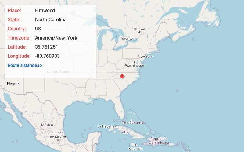
Static map view of Elmwood, North Carolina
Browse Places by Distance
Places within specific distances from Elmwood
Short Distances
Long Distances
Click any distance to see all places within that range from Elmwood. Distances shown in miles (1 mile ≈ 1.61 kilometers).