Distance to Mt Ulla, North Carolina

Calculating Your Route
Just a moment while we process your request...
Location Information
-
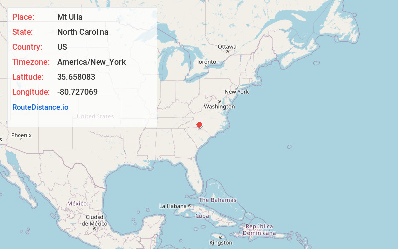
Full AddressMt Ulla, NC 28125
-
Coordinates35.6580828, -80.7270687
-
LocationMt Ulla , North Carolina , US
-
TimezoneAmerica/New_York
-
Current Local Time11:05:54 AM America/New_YorkTuesday, June 24, 2025
-
Page Views0
Nearby Places
Found 10 places within 50 miles

Cleveland
5.9 mi
9.5 km
Cleveland, NC 27013
Get directions

Mooresville
7.2 mi
11.6 km
Mooresville, NC
Get directions

Enochville
9.5 mi
15.3 km
Enochville, NC
Get directions

Troutman
9.6 mi
15.4 km
Troutman, NC
Get directions
Landis
10.1 mi
16.3 km
Landis, NC
Get directions

China Grove
10.2 mi
16.4 km
China Grove, NC
Get directions

Rowan County
10.5 mi
16.9 km
Rowan County, NC
Get directions

Statesville
12.6 mi
20.3 km
Statesville, NC
Get directions

Davidson
12.9 mi
20.8 km
Davidson, NC
Get directions

Kannapolis
13.2 mi
21.2 km
Kannapolis, NC
Get directions
Location Links
Local Weather
Weather Information
Coming soon!
Location Map
Static map view of Mt Ulla, North Carolina
Browse Places by Distance
Places within specific distances from Mt Ulla
Short Distances
Long Distances
Click any distance to see all places within that range from Mt Ulla. Distances shown in miles (1 mile ≈ 1.61 kilometers).