Distance to Elora, California

Calculating Your Route
Just a moment while we process your request...
Location Information
-
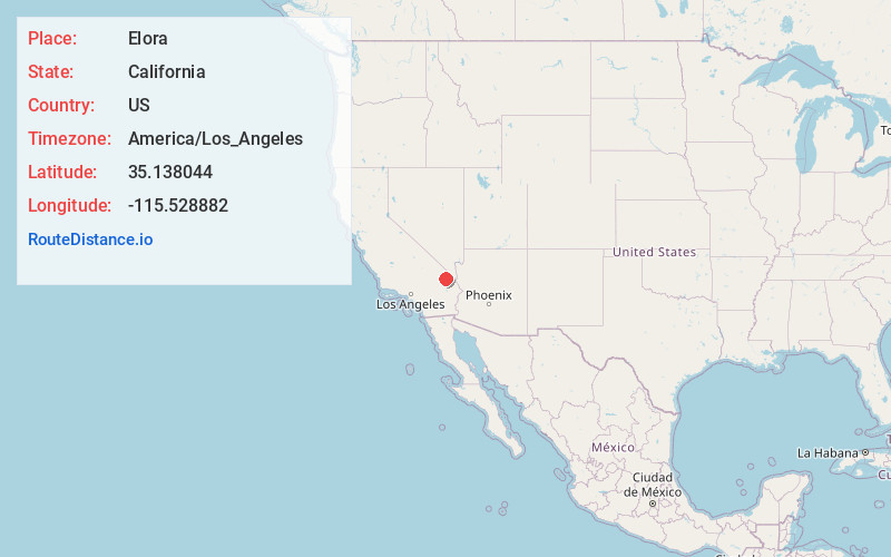
Full AddressElora, CA
-
Coordinates35.1380436, -115.5288824
-
LocationElora , California , US
-
TimezoneAmerica/Los_Angeles
-
Current Local Time11:29:06 AM America/Los_AngelesFriday, June 13, 2025
-
Page Views0
Nearby Places
Found 10 places within 50 miles

Hayden
7.9 mi
12.7 km
Hayden, CA 92332
Get directions
Brant
13.9 mi
22.4 km
Brant, CA 92364
Get directions
Flynn
15.9 mi
25.6 km
Flynn, CA
Get directions
Ivanpah
18.7 mi
30.1 km
Ivanpah, CA 92364
Get directions

Lanfair
19.5 mi
31.4 km
Lanfair, CA
Get directions

Barnwell
19.7 mi
31.7 km
Barnwell, CA 92364
Get directions

Vanderbilt
20.6 mi
33.2 km
Vanderbilt, CA 92364
Get directions

Wheaton Springs
22.6 mi
36.4 km
Wheaton Springs, CA 92364
Get directions
Moore
22.9 mi
36.9 km
Moore, CA
Get directions

Mountain Pass
23.0 mi
37.0 km
Mountain Pass, CA 92364
Get directions
Location Links
Local Weather
Weather Information
Coming soon!
Location Map
Static map view of Elora, California
Browse Places by Distance
Places within specific distances from Elora
Short Distances
Long Distances
Click any distance to see all places within that range from Elora. Distances shown in miles (1 mile ≈ 1.61 kilometers).