Distance to Hayden, California

Calculating Your Route
Just a moment while we process your request...
Location Information
-
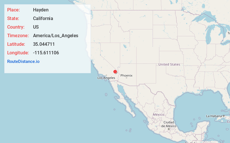
Full AddressHayden, CA 92332
-
Coordinates35.0447107, -115.6111062
-
LocationHayden , California , US
-
TimezoneAmerica/Los_Angeles
-
Current Local Time1:06:39 PM America/Los_AngelesMonday, June 2, 2025
-
Page Views0
Nearby Places
Found 10 places within 50 miles

Sands
18.9 mi
30.4 km
Sands, CA
Get directions

Lanfair
24.8 mi
39.9 km
Lanfair, CA
Get directions
Orange Blossom Mine
26.7 mi
43.0 km
Orange Blossom Mine, California
Get directions

Barnwell
27.3 mi
43.9 km
Barnwell, CA 92364
Get directions

Halloran Springs
27.5 mi
44.3 km
Halloran Springs, CA 92364
Get directions

Vanderbilt
28.4 mi
45.7 km
Vanderbilt, CA 92364
Get directions

Mountain Pass
29.7 mi
47.8 km
Mountain Pass, CA 92364
Get directions

Baker
30.3 mi
48.8 km
Baker, CA
Get directions

Goffs
32.4 mi
52.1 km
Goffs, CA 92332
Get directions

Klondike
34.2 mi
55.0 km
Klondike, CA
Get directions
Location Links
Local Weather
Weather Information
Coming soon!
Location Map
Static map view of Hayden, California
Browse Places by Distance
Places within specific distances from Hayden
Short Distances
Long Distances
Click any distance to see all places within that range from Hayden. Distances shown in miles (1 mile ≈ 1.61 kilometers).