Distance to Halloran Springs, California

Calculating Your Route
Just a moment while we process your request...
Location Information
-
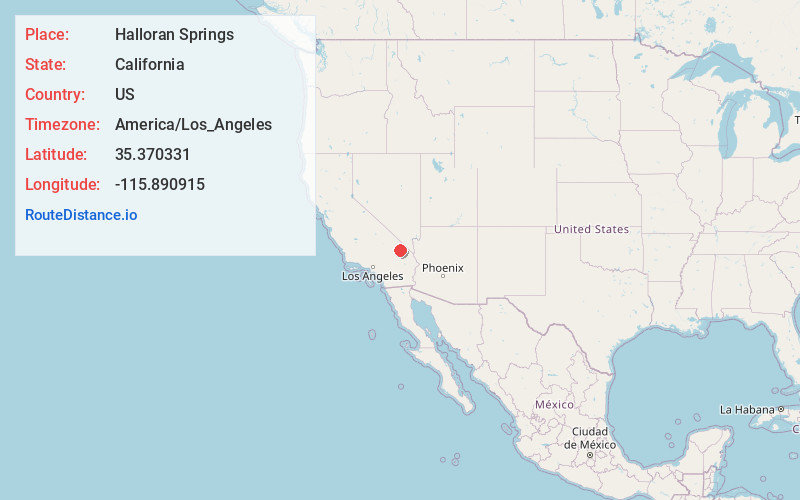
Full AddressHalloran Springs, CA 92364
-
Coordinates35.370331, -115.890915
-
LocationHalloran Springs , California , US
-
TimezoneAmerica/Los_Angeles
-
Current Local Time1:56:59 AM America/Los_AngelesWednesday, June 4, 2025
-
Page Views0
About Halloran Springs
Halloran Springs is a set of springs in the Mojave Desert in San Bernardino County, California, United States.
It is located on Interstate 15 between Baker, California and Las Vegas, Nevada approximately 15 miles northeast of Baker.
The ZIP code is 92309 and the community is inside area codes 442 and 760.


Nearby Places
Found 10 places within 50 miles

Baker
12.5 mi
20.1 km
Baker, CA
Get directions

Sands
24.7 mi
39.8 km
Sands, CA
Get directions
Basin
32.1 mi
51.7 km
Basin, CA 92309
Get directions

Calada
32.6 mi
52.5 km
Calada, CA 92364
Get directions

Sandy Valley
34.1 mi
54.9 km
Sandy Valley, NV 89019
Get directions

Vanderbilt
36.2 mi
58.3 km
Vanderbilt, CA 92364
Get directions

Barnwell
37.3 mi
60.0 km
Barnwell, CA 92364
Get directions

Tecopa
38.0 mi
61.2 km
Tecopa, CA
Get directions
Charleston View
40.9 mi
65.8 km
Charleston View, CA
Get directions

Goodsprings
41.0 mi
66.0 km
Goodsprings, NV
Get directions
Location Links
Local Weather
Weather Information
Coming soon!
Location Map
Static map view of Halloran Springs, California
Browse Places by Distance
Places within specific distances from Halloran Springs
Short Distances
Long Distances
Click any distance to see all places within that range from Halloran Springs. Distances shown in miles (1 mile ≈ 1.61 kilometers).