Distance to Sands, California

Calculating Your Route
Just a moment while we process your request...
Location Information
-
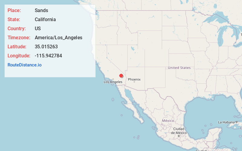
Full AddressSands, CA
-
Coordinates35.0152634, -115.9427841
-
LocationSands , California , US
-
TimezoneAmerica/Los_Angeles
-
Current Local Time3:28:14 AM America/Los_AngelesSaturday, June 21, 2025
-
Page Views0
Nearby Places
Found 9 places within 50 miles

Baker
18.9 mi
30.4 km
Baker, CA
Get directions

Basin
20.0 mi
32.2 km
Basin, CA 92309
Get directions

Ludlow
23.8 mi
38.3 km
Ludlow, CA 92338
Get directions

Klondike
24.2 mi
38.9 km
Klondike, CA
Get directions
Orange Blossom Mine
24.4 mi
39.3 km
Orange Blossom Mine, California
Get directions
Saltus
36.0 mi
57.9 km
Saltus, CA 92277
Get directions

Barnwell
44.3 mi
71.3 km
Barnwell, CA 92364
Get directions

Vanderbilt
44.8 mi
72.1 km
Vanderbilt, CA 92364
Get directions

Fort Irwin
45.3 mi
72.9 km
Fort Irwin, CA 92310
Get directions
Location Links
Local Weather
Weather Information
Coming soon!
Location Map
Static map view of Sands, California
Browse Places by Distance
Places within specific distances from Sands
Short Distances
Long Distances
Click any distance to see all places within that range from Sands. Distances shown in miles (1 mile ≈ 1.61 kilometers).