Distance to Ludlow, California

Calculating Your Route
Just a moment while we process your request...
Location Information
-
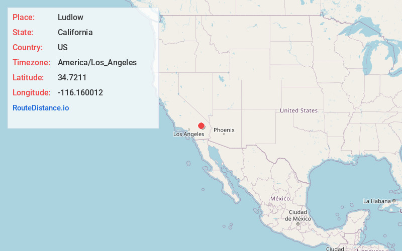
Full AddressLudlow, CA 92338
-
Coordinates34.7211004, -116.1600117
-
LocationLudlow , California , US
-
TimezoneAmerica/Los_Angeles
-
Current Local Time4:39:17 AM America/Los_AngelesSaturday, June 21, 2025
-
Page Views0
About Ludlow
Ludlow is an unincorporated community in the Mojave Desert on Interstate 40, located in San Bernardino County, California, United States. The older remains of the ghost town are along historic Route 66.


Nearby Places
Found 9 places within 50 miles

Klondike
9.6 mi
15.4 km
Klondike, CA
Get directions

Orange Blossom Mine
21.4 mi
34.4 km
Orange Blossom Mine, California
Get directions

Baker
38.1 mi
61.3 km
Baker, CA
Get directions

Yermo
39.8 mi
64.1 km
Yermo, CA
Get directions

Joshua Tree
41.4 mi
66.6 km
Joshua Tree, CA
Get directions

Yucca Valley
44.7 mi
71.9 km
Yucca Valley, CA 92284
Get directions
Bush
47.3 mi
76.1 km
Bush, CA 92277
Get directions

Fort Irwin
47.8 mi
76.9 km
Fort Irwin, CA 92310
Get directions

Lucerne Valley
49.8 mi
80.1 km
Lucerne Valley, CA 92356
Get directions
Location Links
Local Weather
Weather Information
Coming soon!
Location Map
Static map view of Ludlow, California
Browse Places by Distance
Places within specific distances from Ludlow
Short Distances
Long Distances
Click any distance to see all places within that range from Ludlow. Distances shown in miles (1 mile ≈ 1.61 kilometers).