Distance to Charleston View, California

Calculating Your Route
Just a moment while we process your request...
Location Information
-
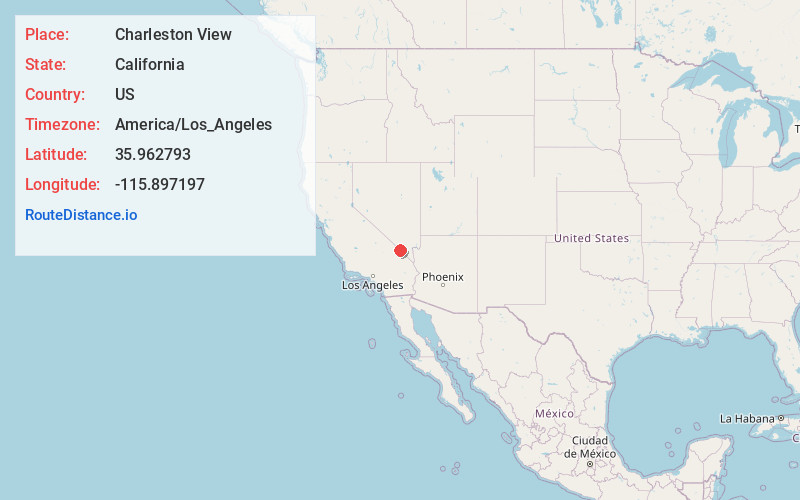
Full AddressCharleston View, CA
-
Coordinates35.9627927, -115.8971973
-
LocationCharleston View , California , US
-
TimezoneAmerica/Los_Angeles
-
Current Local Time10:07:27 PM America/Los_AngelesTuesday, June 24, 2025
-
Page Views0
About Charleston View
Charleston View, formally known as Calvada Springs, is an unincorporated community in Inyo County, California. The Charleston View CDP had a population of 45 in the 2020 census.
The former name is a portmanteau of California and Nevada.
Nearby Places
Found 10 places within 50 miles

Pahrump
17.6 mi
28.3 km
Pahrump, NV
Get directions

Sandy Valley
17.9 mi
28.8 km
Sandy Valley, NV 89019
Get directions

Tecopa
20.1 mi
32.3 km
Tecopa, CA
Get directions

Shoshone
20.9 mi
33.6 km
Shoshone, CA
Get directions

Mt Charleston
24.8 mi
39.9 km
Mt Charleston, NV 89124
Get directions

Goodsprings
27.4 mi
44.1 km
Goodsprings, NV
Get directions

Blue Diamond
28.2 mi
45.4 km
Blue Diamond, NV
Get directions

Enterprise
36.9 mi
59.4 km
Enterprise, NV
Get directions

Spring Valley
37.8 mi
60.8 km
Spring Valley, NV
Get directions

Paradise
43.0 mi
69.2 km
Paradise, NV
Get directions
Location Links
Local Weather
Weather Information
Coming soon!
Location Map
Static map view of Charleston View, California
Browse Places by Distance
Places within specific distances from Charleston View
Short Distances
Long Distances
Click any distance to see all places within that range from Charleston View. Distances shown in miles (1 mile ≈ 1.61 kilometers).